Large airport · Syria
Damascus International AirportOSDI
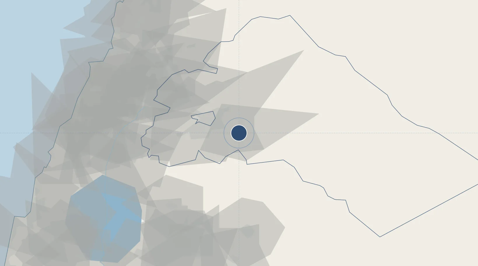
33.4115°, 36.5156°
11,811 ft
Longest runway
1
Runways
2,020 ft
Elevation
Runway & Layout

Radio Frequencies
ATIS
128.225 MHz
TWR
118.5 MHz
APP
120 MHz
Navaids
ABD NDB Abyad 264 kHz
DAL NDB Otaebe 342 kHz
DAM VOR-DME Damascus 116.00 MHz
MEZ NDB Mezze 358 kHz
Runways · 1
| Runway | Dimensions | Surface | True heading | Lit |
|---|---|---|---|---|
| 05R/23L | 11,811 × 148ft | Asphalt | 048° | ✓ |
Airport Specifications
IATA code
DAM
ICAO code
OSDI
Airport class
Large airport
Scheduled service
Yes
Runway surface
Asphalt
Served city
Damascus
Location
Nearby Logistics Neighbours
Airports
- 1Khalkhalah Air Base37 km
- 2An Nasiriyah Air Base65 km
- 3Rayak Air Base69 km
- 4Rosh Pina Airport100 km
- 5Beirut Rafic Hariri International Airport106 km
Cities
- 1Bekaa74 km
- 2'Ablah85 km
- 3Beit Shean Jordan Cargo Terminal86 km
- 4Beit Shean Jordan Meshakef87 km
- 5Ashqout99 km
Ports
- 1Bayrut109 km
- 2Sayda109 km
- 3Sidon/zahrani Terminal112 km
- 4Selaata125 km
- 5Tarabulus132 km
Trade Zones
- 1Damascus International Airport Free Zone1 km
- 2Adra Free Zone22 km
- 3Damascus Free Zone25 km
- 4Daraa Free Zone104 km
- 5Port of Beirut Logistics Free Zone107 km
DatabookThe Record of Consolidated Knowledge
Syria beyond logistics?