Runway & Layout

Airport Specifications
IATA code
XIJ
ICAO code
OKAJ
Airport class
Medium airport
Scheduled service
No
Served city
Ahmed Al Jaber AB
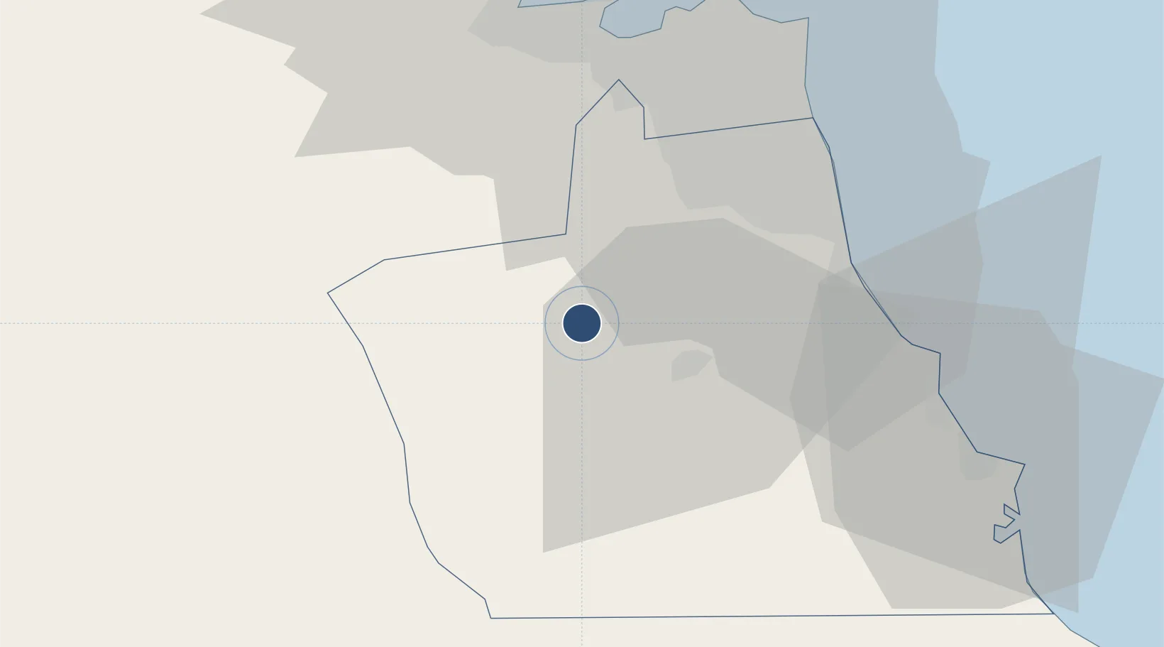
Location
Nearby Logistics Neighbours
Airports
- 1Kuwait International Airport37 km
- 2Ali Al Salem Air Base53 km
- 3Ras Mishab Airport124 km
- 4Ras Tanajib Airport152 km
- 5Abadan Ayatollah Jami International Airport165 km
Cities
- 1Ahmadi32 km
- 2Shuaiba36 km
- 3Mina' 'Abd Allah38 km
- 4Mina' al Ahmadi38 km
- 5Kaifan48 km
Ports
- 1Mina Abd Allah38 km
- 2Mina Ash Shuaybah38 km
- 3Mina Al Ahmadi39 km
- 4Al Kuwayt48 km
- 5Doha Harbor50 km
Trade Zones
DatabookThe Record of Consolidated Knowledge
Kuwait beyond logistics?