Transport Functions
Port
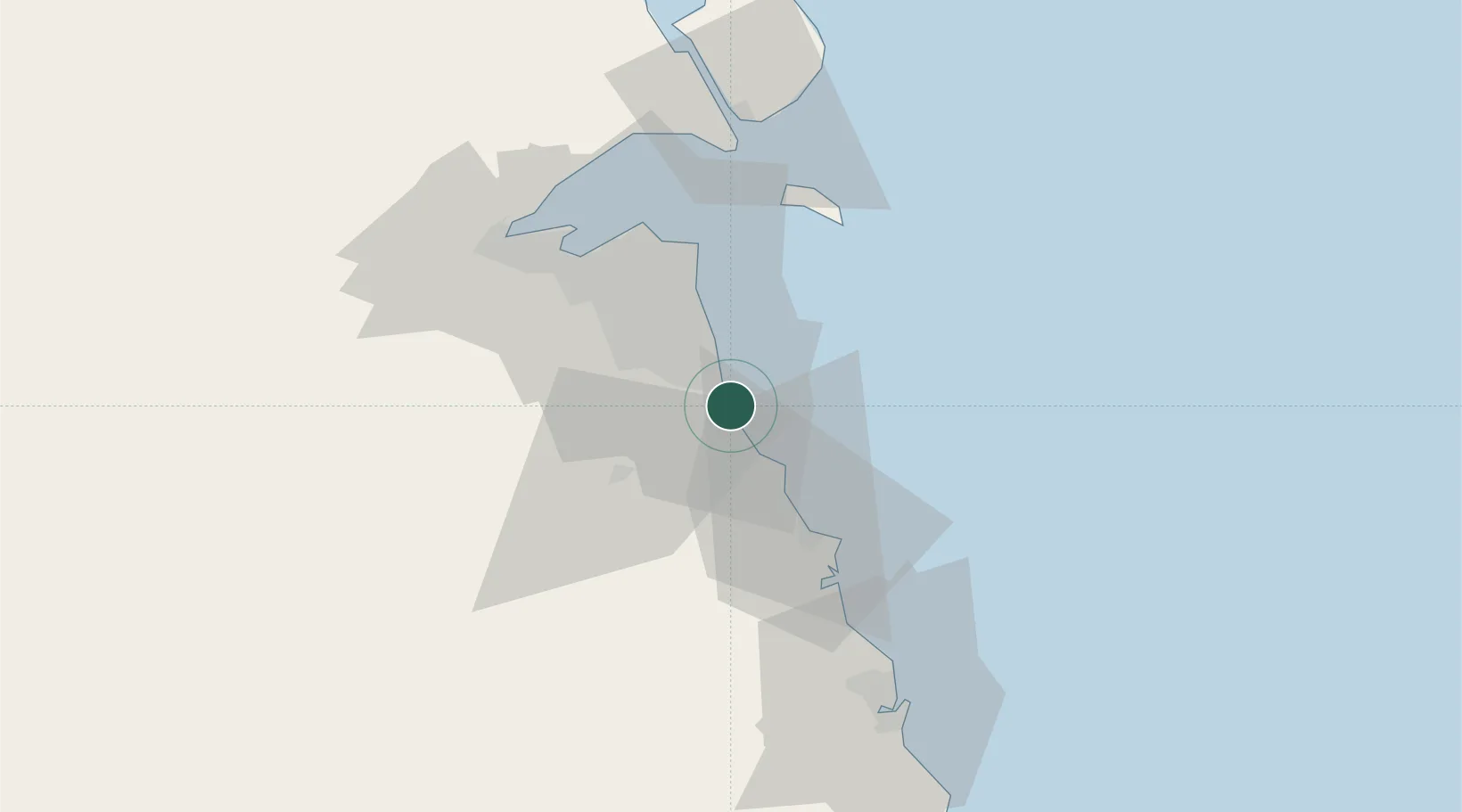
Location
Nearby Logistics Neighbours
Cities
- 1Shuaiba6 km
- 2Mina' al Ahmadi6 km
- 3Ahmadi10 km
- 4As Salimiyah36 km
- 5Salmiya36 km
Ports
- 1Mina Ash Shuaybah2 km
- 2Mina Al Ahmadi6 km
- 3Mina Az Zawr39 km
- 4Al Kuwayt43 km
- 5Doha Harbor54 km
Airports
- 1Kuwait International Airport30 km
- 2Ahmed Al Jaber Air Base38 km
- 3Ali Al Salem Air Base73 km
- 4Ras Mishab Airport113 km
- 5Ras Tanajib Airport141 km
Trade Zones
DatabookThe Record of Consolidated Knowledge
Kuwait beyond logistics?