Transport Functions
Multimodal
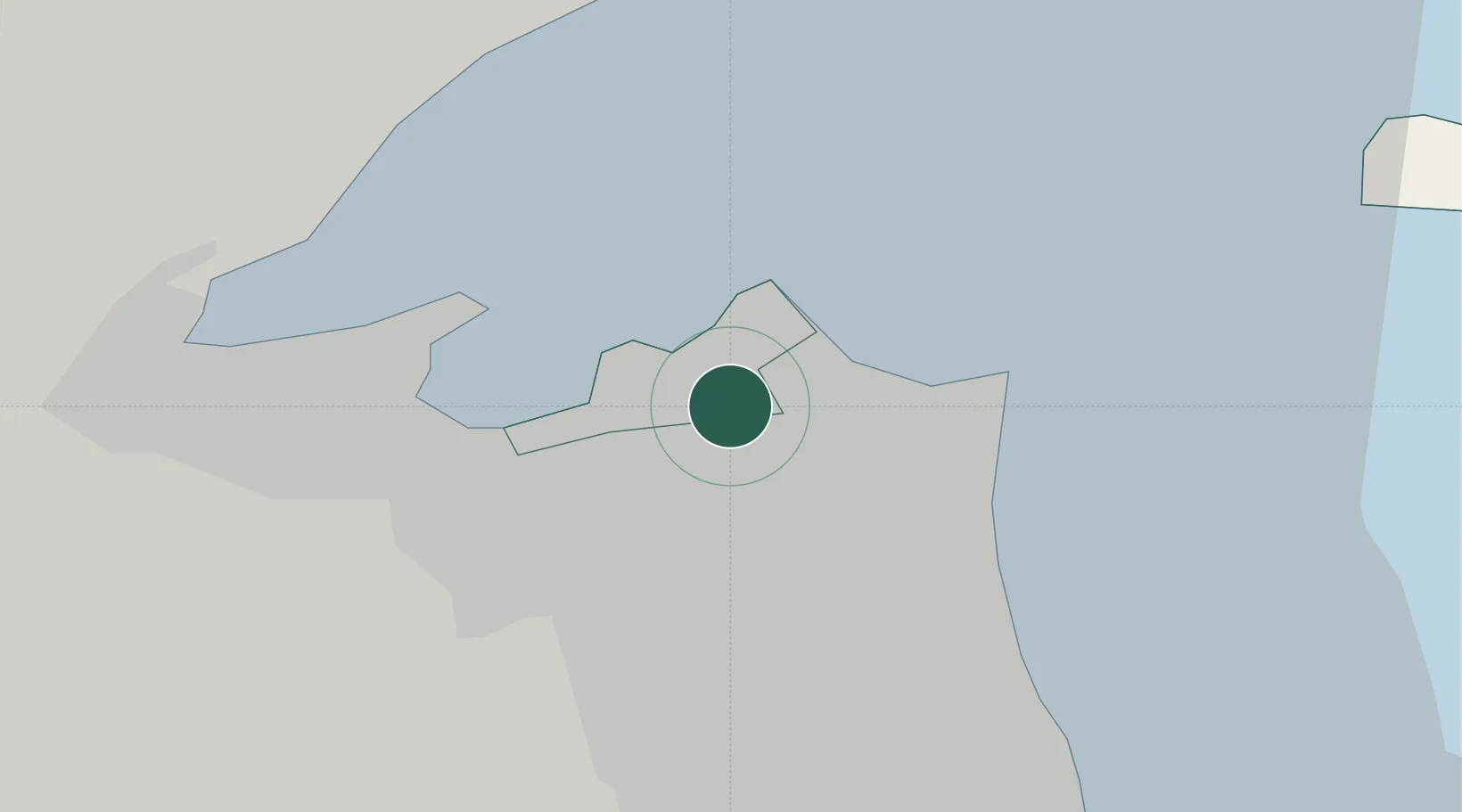
Location
Nearby Logistics Neighbours
Cities
- 1Awalli5 km
- 2Shuwaikh5 km
- 3As Salimiyah11 km
- 4Salmiya11 km
- 5Ra's al Ard12 km
Ports
- 1Al Kuwayt4 km
- 2Doha Harbor17 km
- 3Mina Al Ahmadi35 km
- 4Mina Ash Shuaybah39 km
- 5Mina Abd Allah40 km
Airports
Trade Zones
DatabookThe Record of Consolidated Knowledge
Kuwait beyond logistics?