Seaport · Kuwait

Doha HarborKWDOH

29.3833°, 47.8000°
3.4 m
Channel depth
Doha Harbor is also a UN/LOCODE logistics hub →

Channel & Berth Profile

SEA LEVEL (CD)CHANNEL BEDChannel · 3.4 mCargo pier · 3.4 m
NGA World Port Index

Pilotage, Tugs & Services

Garbage disposalNO
NGA World Port Index

Facilities & Capabilities

Container
Ro-Ro
Liquid bulk
Dry bulk
Oil terminal
Break bulk
Dry dock
Repairs
Bunkering
Rail link
Dangerous cargo
ISPS security
NGA World Port Index

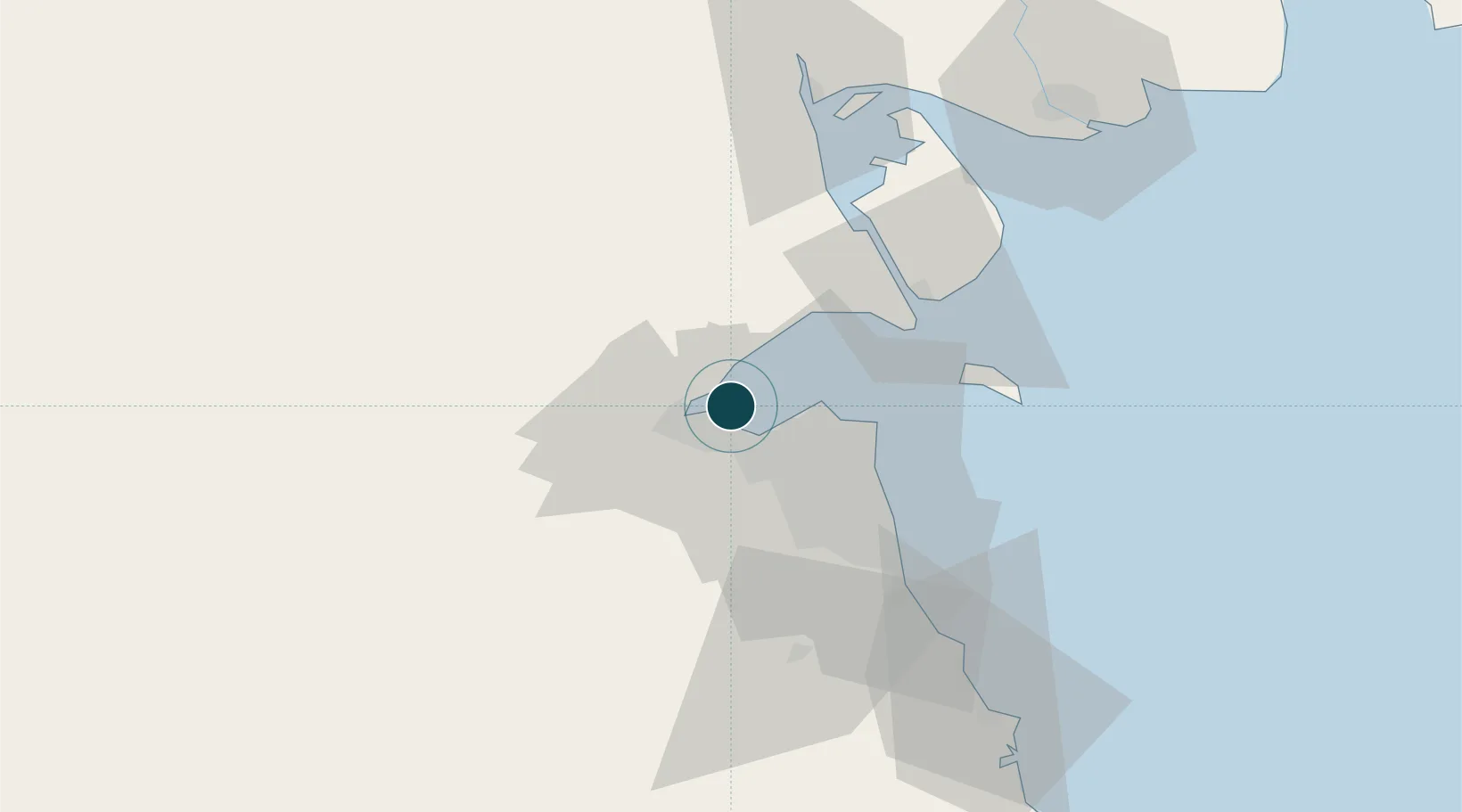
Harbour Specifications

Harbour size
Very Small
NGA World Port Index
Harbour type
Coastal (Natural)
NGA World Port Index
Shelter
Poor
NGA World Port Index
Water body
Persian Gulf; Indian Ocean
NGA World Port Index

Location

Location of KWDOH
Natural Earth 10m (public domain) · Al Jahrah · KWDOH · 29.38, 47.80GoogleOSMYandex

Nearby Logistics Neighbours

Ports
  1. 1Al Kuwayt13 km
  2. 2Mina Al Ahmadi50 km
  3. 3Mina Ash Shuaybah53 km
  4. 4Mina Abd Allah54 km
  5. 5Umm Qasr72 km
Nearest neighbours — logibook spatial index (haversine) over the source coordinates
Cities
  1. 1Shuwaikh12 km
  2. 2Kaifan17 km
  3. 3Awalli22 km
  4. 4Ra's al Ard28 km
  5. 5As Salimiyah28 km
Nearest neighbours — logibook spatial index (haversine) over the source coordinates
Airports
  1. 1Kuwait International Airport24 km
  2. 2Ali Al Salem Air Base28 km
  3. 3Ahmed Al Jaber Air Base50 km
  4. 4Abadan Ayatollah Jami International Airport117 km
  5. 5Basra International Airport130 km
Nearest neighbours — logibook spatial index (haversine) over the source coordinates
Trade Zones
  1. 1Kuwait Free Trade Zone11 km
  2. 2Al Naim (Al Shegaya) Free Economic Zone12 km
  3. 3Al Abdali Free Economic Zone72 km
  4. 4Al Wafra Free Economic Zone90 km
  5. 5Arvand Trade Industrial Free Zone119 km
Nearest neighbours — logibook spatial index (haversine) over the source coordinates
DatabookThe Record of Consolidated Knowledge
Kuwait beyond logistics?
Browse databook

All Sources

Portsthe NGA World Port Index
Public domain (US gov)
AirportsOurAirports
Public domain
LocationsUN/LOCODE
UN/LOCODE — free
Trade Zonesthe World Bank SEZ database
CC BY 4.0
Trade ZonesOpen Zone Map
CC BY
← Kuwait ports