Medium airport · Kuwait

Ali Al Salem Air BaseOKAS
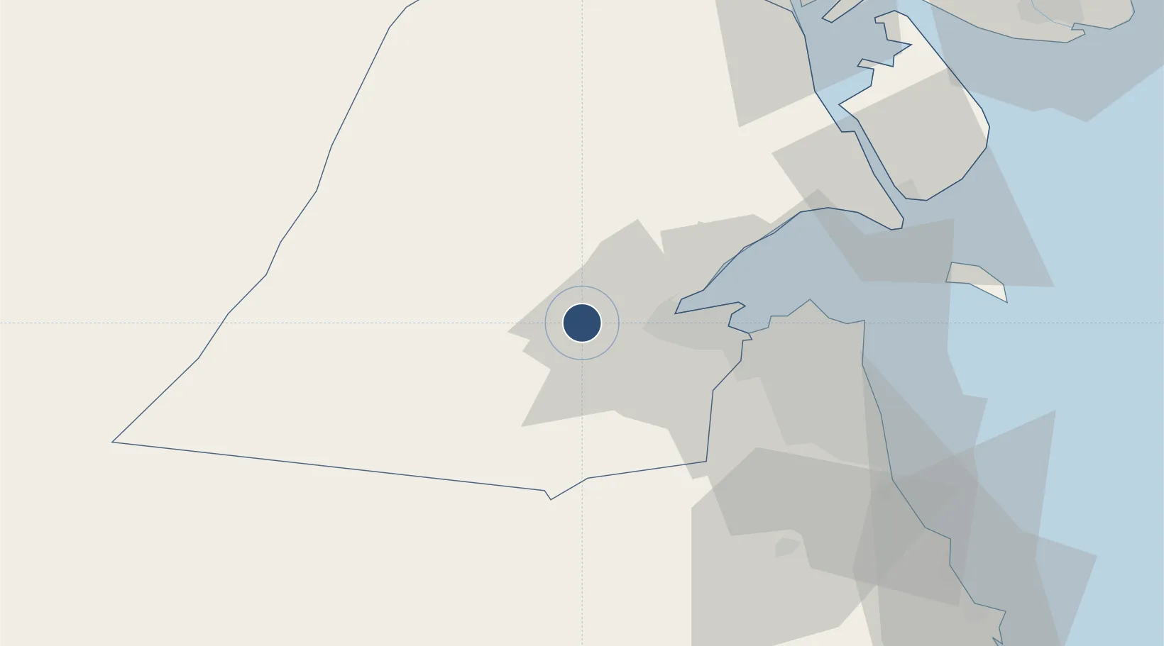
29.3446°, 47.5112°
9,805 ft
Longest runway
2
Runways
472 ft
Elevation

Runway & Layout

Ali Al Salem Air Base runway & taxiway layout
Runway & taxiway layout — OpenStreetMap (ODbL) / OurAirports

Radio Frequencies

TWR
118 MHz
GND
25.01 MHz
APP
128.3 MHz
MOHALAB APP
PMSV
37.272 MHz
METRO
POST
25.3 MHz
COMD POST
OurAirports

Navaids

ASB VORTAC Ali Al Salem 116.00 MHz
OurAirports

Runways · 2

RunwayDimensions SurfaceTrue headingLit
12L/30R 9,805 × 132ft Asphalt / concrete 120°
12R/30L 9,805 × 146ft Asphalt / concrete 120°
OurAirports

Airport Specifications

ICAO code
OKAS
OurAirports
Airport class
Medium airport
OurAirports
Scheduled service
No
OurAirports
Runway surface
Asphalt / concrete
OurAirports
Served city
Al Damaikhi
OurAirports

Location

Location of OKAS
Natural Earth 10m (public domain) · Al Jahrah · OKAS · 29.34, 47.51GoogleOSMYandex

Nearby Logistics Neighbours

Airports
  1. 1Kuwait International Airport46 km
  2. 2Ahmed Al Jaber Air Base53 km
  3. 3Abadan Ayatollah Jami International Airport133 km
  4. 4Basra International Airport135 km
  5. 5Jalibah Southeast Air Base160 km
Nearest neighbours — logibook spatial index (haversine) over the source coordinates
Cities
  1. 1Doha28 km
  2. 2Shuwaikh39 km
  3. 3Kaifan44 km
  4. 4Awalli49 km
  5. 5Ra's al Ard56 km
Nearest neighbours — logibook spatial index (haversine) over the source coordinates
Ports
  1. 1Doha Harbor28 km
  2. 2Al Kuwayt41 km
  3. 3Mina Al Ahmadi71 km
  4. 4Mina Ash Shuaybah72 km
  5. 5Mina Abd Allah73 km
Nearest neighbours — logibook spatial index (haversine) over the source coordinates
Trade Zones
  1. 1Al Naim (Al Shegaya) Free Economic Zone17 km
  2. 2Kuwait Free Trade Zone38 km
  3. 3Al Abdali Free Economic Zone72 km
  4. 4Al Wafra Free Economic Zone97 km
  5. 5Arvand Trade Industrial Free Zone135 km
Nearest neighbours — logibook spatial index (haversine) over the source coordinates
DatabookThe Record of Consolidated Knowledge
Kuwait beyond logistics?
Browse databook

All Sources

AirportsOurAirports
Public domain
Portsthe NGA World Port Index
Public domain (US gov)
LocationsUN/LOCODE
UN/LOCODE — free
Trade Zonesthe World Bank SEZ database
CC BY 4.0
Trade ZonesOpen Zone Map
CC BY
InfrastructureOpenStreetMap
ODbL 1.0
← Kuwait airports