Free Trade Zone · Kuwait

Al Wafra Free Economic Zone Under Development
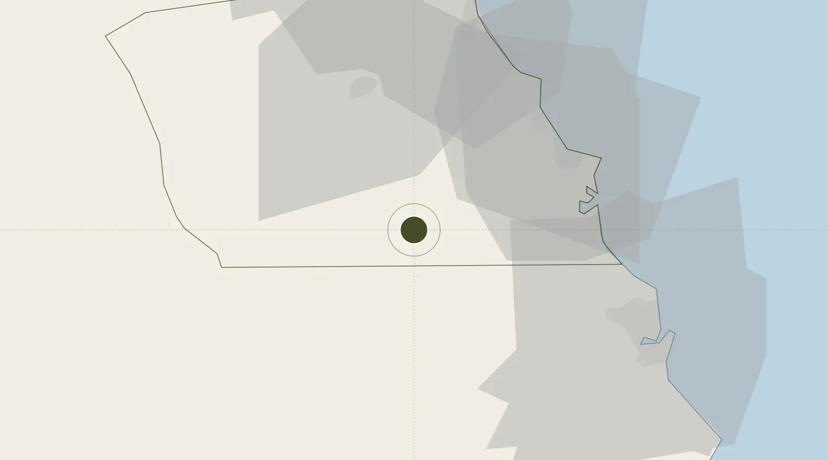
28.6057°, 48.0359°
600 ha
Zone area
38.3 km
Nearest port
43.6 km
Nearest airport

Gateway access

Nearest neighbours — logibook spatial index (haversine) over the source coordinates

Zone profile

Zone type
Free Trade Zone
Open Zone Map
Region
Al Ahmadi
Open Zone Map
Status
Under Development
Open Zone Map
Management
Public
Open Zone Map
Operator
Kuwait Direct Investment Promotion Authority
Open Zone Map
Legal framework
Law No. (116) of 2013, Law No. (26) of 1995
Open Zone Map

Location

Location of ozm-2681
Natural Earth 10m (public domain) · Al Ahmadi · ozm-2681 · 28.61, 48.04GoogleOSMYandex

Nearby Logistics Neighbours

Ports
  1. 1Mina Az Zawr38 km
  2. 2Mina Abd Allah47 km
  3. 3Mina Ash Shuaybah49 km
  4. 4Mina Al Ahmadi53 km
  5. 5Ras Al Khafji57 km
Nearest neighbours — logibook spatial index (haversine) over the source coordinates
Airports
  1. 1Ahmed Al Jaber Air Base44 km
  2. 2Kuwait International Airport69 km
  3. 3Ras Mishab Airport81 km
  4. 4Ali Al Salem Air Base97 km
  5. 5Ras Tanajib Airport109 km
Nearest neighbours — logibook spatial index (haversine) over the source coordinates
Cities
  1. 1Mina Al Zour38 km
  2. 2Mina Saud46 km
  3. 3Mina' 'Abd Allah47 km
  4. 4Shuaiba51 km
  5. 5Ahmadi52 km
Nearest neighbours — logibook spatial index (haversine) over the source coordinates
Trade Zones
  1. 1Kuwait Free Trade Zone84 km
  2. 2Al Naim (Al Shegaya) Free Economic Zone88 km
  3. 3Al Abdali Free Economic Zone161 km
  4. 4Ras Al-Khair Industrial City167 km
  5. 5Hafar Al-Batin Industrial City172 km
Nearest neighbours — logibook spatial index (haversine) over the source coordinates
DatabookThe Record of Consolidated Knowledge
Kuwait beyond logistics?
Browse databook

All Sources

Trade ZonesOpen Zone Map
CC BY
Portsthe NGA World Port Index
Public domain (US gov)
AirportsOurAirports
Public domain
LocationsUN/LOCODE
UN/LOCODE — free
← Kuwait trade zones