Medium airport · Saudi Arabia

Ras Tanajib AirportOETN
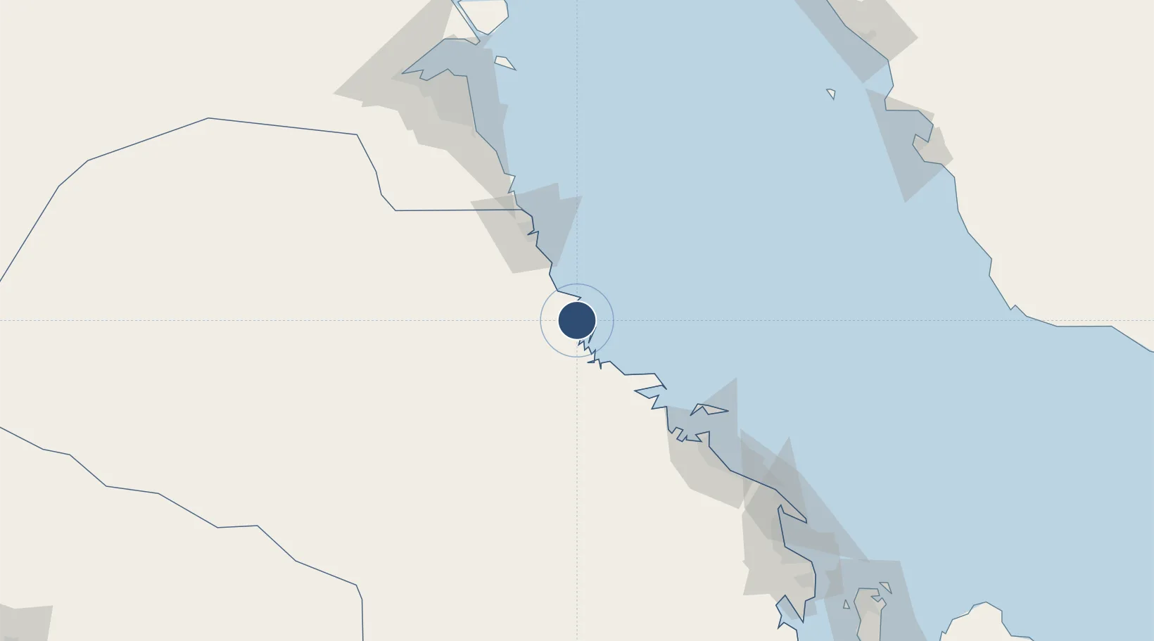
27.8678°, 48.7691°
8,005 ft
Longest runway
1
Runways
30 ft
Elevation

Runway & Layout

Ras Tanajib Airport runway & taxiway layout
Runway & taxiway layout — OpenStreetMap (ODbL) / OurAirports

Radio Frequencies

CTAF
122.6 MHz
A/G
138.2 MHz
AG
OurAirports

Navaids

TJ NDB Ras Tanajib 382 kHz
OurAirports

Runways · 1

RunwayDimensions SurfaceTrue headingLit
15/33 8,005 × 98ft Asphalt 154°
OurAirports

Airport Specifications

ICAO code
OETN
OurAirports
Airport class
Medium airport
OurAirports
Scheduled service
No
OurAirports
Runway surface
Asphalt
OurAirports
Served city
As Saffaniyah
OurAirports

Location

Location of OETN
Natural Earth 10m (public domain) · Ash Sharqiyah · OETN · 27.87, 48.77GoogleOSMYandex

Nearby Logistics Neighbours

Airports
  1. 1Ras Mishab Airport28 km
  2. 2Jubail Airport112 km
  3. 3Ahmed Al Jaber Air Base152 km
  4. 4Kuwait International Airport170 km
  5. 5Ras Tanura Airport178 km
Nearest neighbours — logibook spatial index (haversine) over the source coordinates
Cities
  1. 1Ras Al-Khair55 km
  2. 2Mina Al Zour101 km
  3. 3Mina Saud104 km
  4. 4Jubail127 km
  5. 5Al Jubayl Industrial City127 km
Nearest neighbours — logibook spatial index (haversine) over the source coordinates
Ports
  1. 1Ras Al Mishab31 km
  2. 2Ras Al Khafji66 km
  3. 3Mina Az Zawr103 km
  4. 4Al Jubayl124 km
  5. 5Mina Abd Allah141 km
Nearest neighbours — logibook spatial index (haversine) over the source coordinates
Trade Zones
  1. 1Ras Al-Khair Industrial City58 km
  2. 2Al Wafra Free Economic Zone109 km
  3. 3Al-Ahsa Al-Aḥsāʾ Industrial City Salwa (Second)117 km
  4. 4Jubail Industrial City126 km
  5. 5Al-Ahsa Al-Aḥsāʾ Modon Oasis131 km
Nearest neighbours — logibook spatial index (haversine) over the source coordinates
DatabookThe Record of Consolidated Knowledge
Saudi Arabia beyond logistics?
Browse databook

All Sources

AirportsOurAirports
Public domain
Portsthe NGA World Port Index
Public domain (US gov)
LocationsUN/LOCODE
UN/LOCODE — free
Trade Zonesthe World Bank SEZ database
CC BY 4.0
Trade ZonesOpen Zone Map
CC BY
InfrastructureOpenStreetMap
ODbL 1.0
← Saudi Arabia airports