Channel & Berth Profile
Pilotage, Tugs & Services
Pilotage compulsoryYES
Pilotage availableYES
Pilotage advisableYES
Local assistanceYES
Tug assistanceYES
Salvage tugsNO
Shore powerNO
Potable waterNO
Diesel bunkersYES
MedicalNO
Garbage disposalNO
Facilities & Capabilities
Container—
Ro-Ro—
Liquid bulk—
Dry bulk—
Oil terminal—
Break bulk—
Dry dock—
Repairs—
BunkeringYES
Rail link—
Dangerous cargo—
ISPS security—
Harbour Specifications
Harbour size
Small
Harbour type
Open Roadstead
Shelter
Fair
Water body
Persian Gulf; Indian Ocean
Tidal range
3 m
Pilotage
Yes
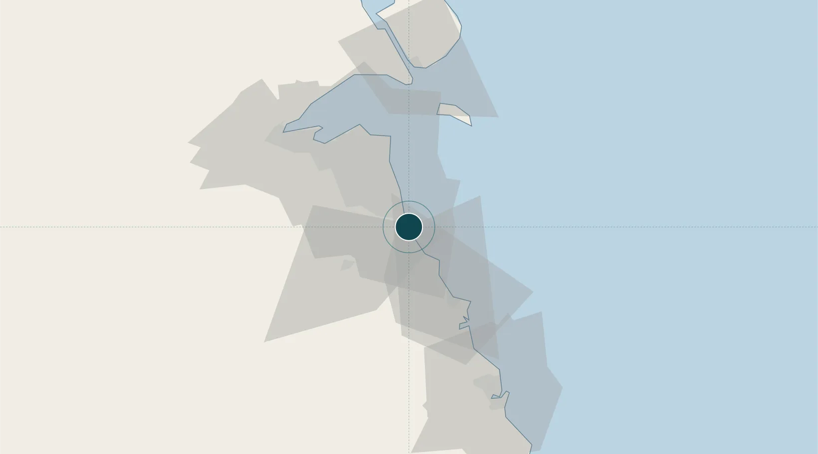
Location
Nearby Logistics Neighbours
Ports
- 1Mina Ash Shuaybah2 km
- 2Mina Al Ahmadi6 km
- 3Mina Az Zawr39 km
- 4Al Kuwayt43 km
- 5Doha Harbor54 km
Cities
- 1Shuaiba6 km
- 2Mina' al Ahmadi6 km
- 3Ahmadi10 km
- 4As Salimiyah36 km
- 5Salmiya36 km
Airports
- 1Kuwait International Airport30 km
- 2Ahmed Al Jaber Air Base38 km
- 3Ali Al Salem Air Base73 km
- 4Ras Mishab Airport113 km
- 5Ras Tanajib Airport141 km
Trade Zones
DatabookThe Record of Consolidated Knowledge
Kuwait beyond logistics?