Seaport · Kuwait
Mina Ash ShuaybahKWSAA
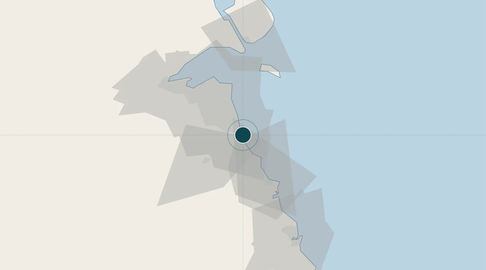
29.0333°, 48.1667°
14.0 m
Channel depth
1
Container terminals
61.9
Port liner connectivity
Channel & Berth Profile
Pilotage, Tugs & Services
Pilotage compulsoryYES
Pilotage availableYES
Tug assistanceYES
Salvage tugsYES
Potable waterYES
Diesel bunkersYES
MedicalYES
Garbage disposalYES
Facilities & Capabilities
Container—
Ro-Ro—
Liquid bulk—
Dry bulk—
Oil terminal—
Break bulk—
Dry dock—
RepairsNO
BunkeringYES
Rail link—
Dangerous cargo—
ISPS security—
Harbour Specifications
Harbour size
Medium
Harbour type
Open Roadstead
Shelter
Fair
Water body
Persian Gulf; Indian Ocean
Tidal range
3 m
Pilotage
Yes
Liner Connectivity
61.9
PLSCI
Port Liner Shipping Connectivity Index for Mina Ash Shuaybah, as published by UNCTAD for the latest available quarter. Higher values indicate stronger scheduled liner-shipping integration.
Shown relative to the highest per-port PLSCI in the dataset (1,657.9).
Location
Container Terminals · 1
SHUAIBA CONTAINER TERMINAL
SAACT GLOBAL CLEARINGHOUSE SYSTEMS COMPANY
Nearby Logistics Neighbours
Ports
- 1Mina Abd Allah2 km
- 2Mina Al Ahmadi4 km
- 3Mina Az Zawr40 km
- 4Al Kuwayt42 km
- 5Doha Harbor53 km
Cities
- 1Mina' 'Abd Allah2 km
- 2Mina' al Ahmadi4 km
- 3Ahmadi9 km
- 4As Salimiyah34 km
- 5Salmiya34 km
Airports
- 1Kuwait International Airport29 km
- 2Ahmed Al Jaber Air Base38 km
- 3Ali Al Salem Air Base72 km
- 4Ras Mishab Airport115 km
- 5Ras Tanajib Airport142 km
Trade Zones
DatabookThe Record of Consolidated Knowledge
Kuwait beyond logistics?