Large airport · Kuwait
Kuwait International AirportOKKK
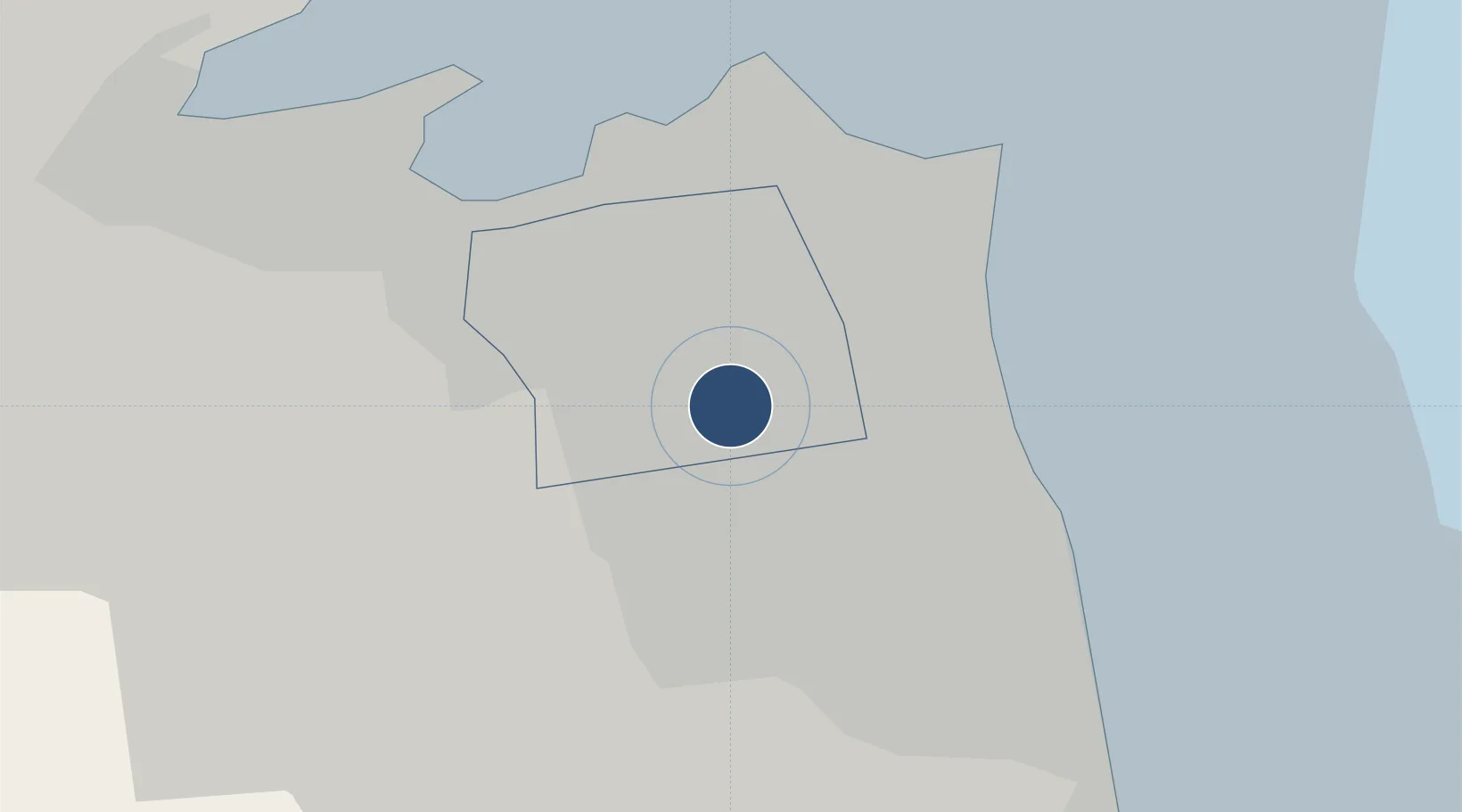
29.2245°, 47.9698°
15,026 ft
Longest runway
3
Runways
206 ft
Elevation
Runway & Layout

Radio Frequencies
ATIS
126.225 MHz
TWR
118.3 MHz
GND
121.7 MHz
APP
121.3 MHz
Navaids
KUA VOR-DME Kuwait 115.50 MHz
Runways · 3
| Runway | Dimensions | Surface | True heading | Lit |
|---|---|---|---|---|
| 16/34 | 15,026 × 197ft | ASPH | 155° | ✓ |
| 15L/33R | 11,483 × 148ft | Asphalt | 155° | ✓ |
| 15R/33L | 11,155 × 148ft | Concrete | 155° | ✓ |
Airport Specifications
IATA code
KWI
ICAO code
OKKK
Airport class
Large airport
Scheduled service
Yes
Runway surface
ASPH
Served city
Kuwait City
Location
Nearby Logistics Neighbours
Airports
- 1Ahmed Al Jaber Air Base37 km
- 2Ali Al Salem Air Base46 km
- 3Abadan Ayatollah Jami International Airport130 km
- 4Ras Mishab Airport142 km
- 5Basra International Airport150 km
Cities
- 1Awalli11 km
- 2Kaifan12 km
- 3Shuwaikh15 km
- 4As Salimiyah16 km
- 5Salmiya16 km
Ports
- 1Al Kuwayt14 km
- 2Doha Harbor24 km
- 3Mina Al Ahmadi26 km
- 4Mina Ash Shuaybah29 km
- 5Mina Abd Allah30 km
Trade Zones
DatabookThe Record of Consolidated Knowledge
Kuwait beyond logistics?