Free Trade Zone · Kuwait

Kuwait Free Trade Zone Inactive
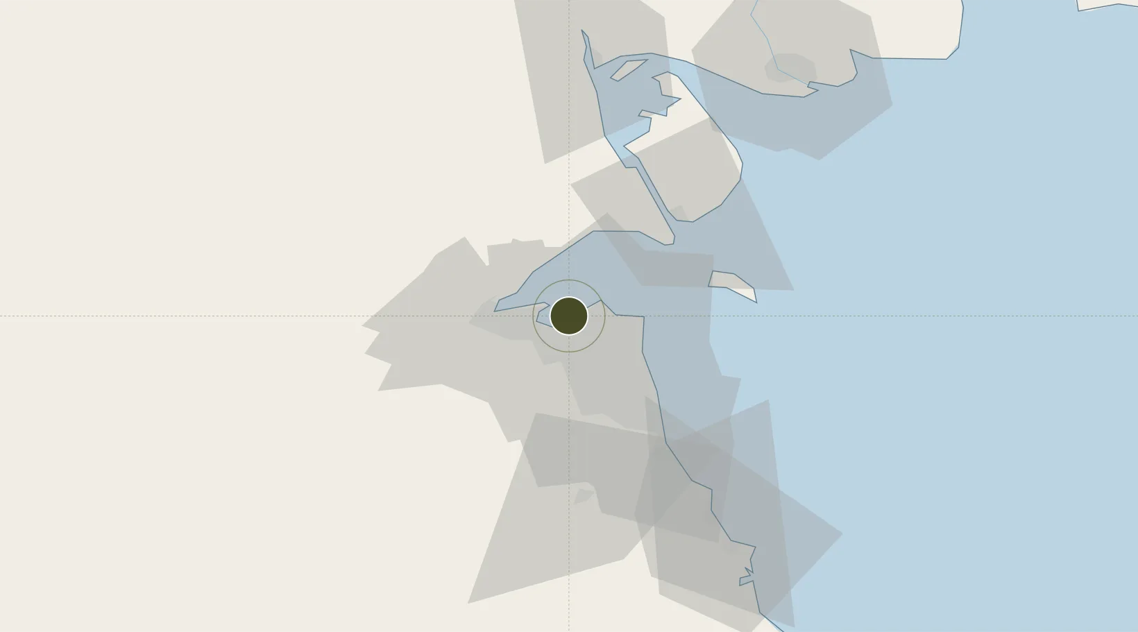
29.3522°, 47.9019°
150 ha
Zone area
3.1 km
Nearest port
15.6 km
Nearest airport

Gateway access

Nearest neighbours — logibook spatial index (haversine) over the source coordinates

Zone profile

Zone type
Free Trade Zone
Open Zone Map
Region
Al Asimah
Open Zone Map
Status
Inactive
Open Zone Map
Management
Public
Open Zone Map
Operator
Kuwait Ports Authority
Open Zone Map
Legal framework
Law No. (116) of 2013, Law No. (26) of 1995
Open Zone Map

Location

Location of ozm-2679
Natural Earth 10m (public domain) · Al Asimah · ozm-2679 · 29.35, 47.90GoogleOSMYandex

Nearby Logistics Neighbours

Ports
  1. 1Al Kuwayt3 km
  2. 2Doha Harbor11 km
  3. 3Mina Al Ahmadi41 km
  4. 4Mina Ash Shuaybah44 km
  5. 5Mina Abd Allah45 km
Nearest neighbours — logibook spatial index (haversine) over the source coordinates
Airports
  1. 1Kuwait International Airport16 km
  2. 2Ali Al Salem Air Base38 km
  3. 3Ahmed Al Jaber Air Base48 km
  4. 4Abadan Ayatollah Jami International Airport117 km
  5. 5Basra International Airport135 km
Nearest neighbours — logibook spatial index (haversine) over the source coordinates
Cities
  1. 1Shuwaikh1 km
  2. 2Kaifan7 km
  3. 3Doha11 km
  4. 4Awalli12 km
  5. 5Ra's al Ard18 km
Nearest neighbours — logibook spatial index (haversine) over the source coordinates
Trade Zones
  1. 1Al Naim (Al Shegaya) Free Economic Zone21 km
  2. 2Al Abdali Free Economic Zone79 km
  3. 3Al Wafra Free Economic Zone84 km
  4. 4Arvand Trade Industrial Free Zone119 km
  5. 5Imam Khomeini Port165 km
Nearest neighbours — logibook spatial index (haversine) over the source coordinates
DatabookThe Record of Consolidated Knowledge
Kuwait beyond logistics?
Browse databook

All Sources

Trade ZonesOpen Zone Map
CC BY
Portsthe NGA World Port Index
Public domain (US gov)
AirportsOurAirports
Public domain
LocationsUN/LOCODE
UN/LOCODE — free
← Kuwait trade zones