UN/LOCODE hub · Kuwait
KWSAA

Shuaiba

29.0547°, 48.1303°
3
Transport functions
1
Container terminals

Transport Functions

Port
Road
Multimodal
Shuaiba is also a profiled seaport →
UN/LOCODE

Hub Profile

Logistics facilities
6
UN/LOCODE
Container terminals
1
UN/LOCODE

Location

Location of KWSAA
Natural Earth 10m (public domain) · Al Ahmadi · KWSAA · 29.05, 48.13GoogleOSMYandex

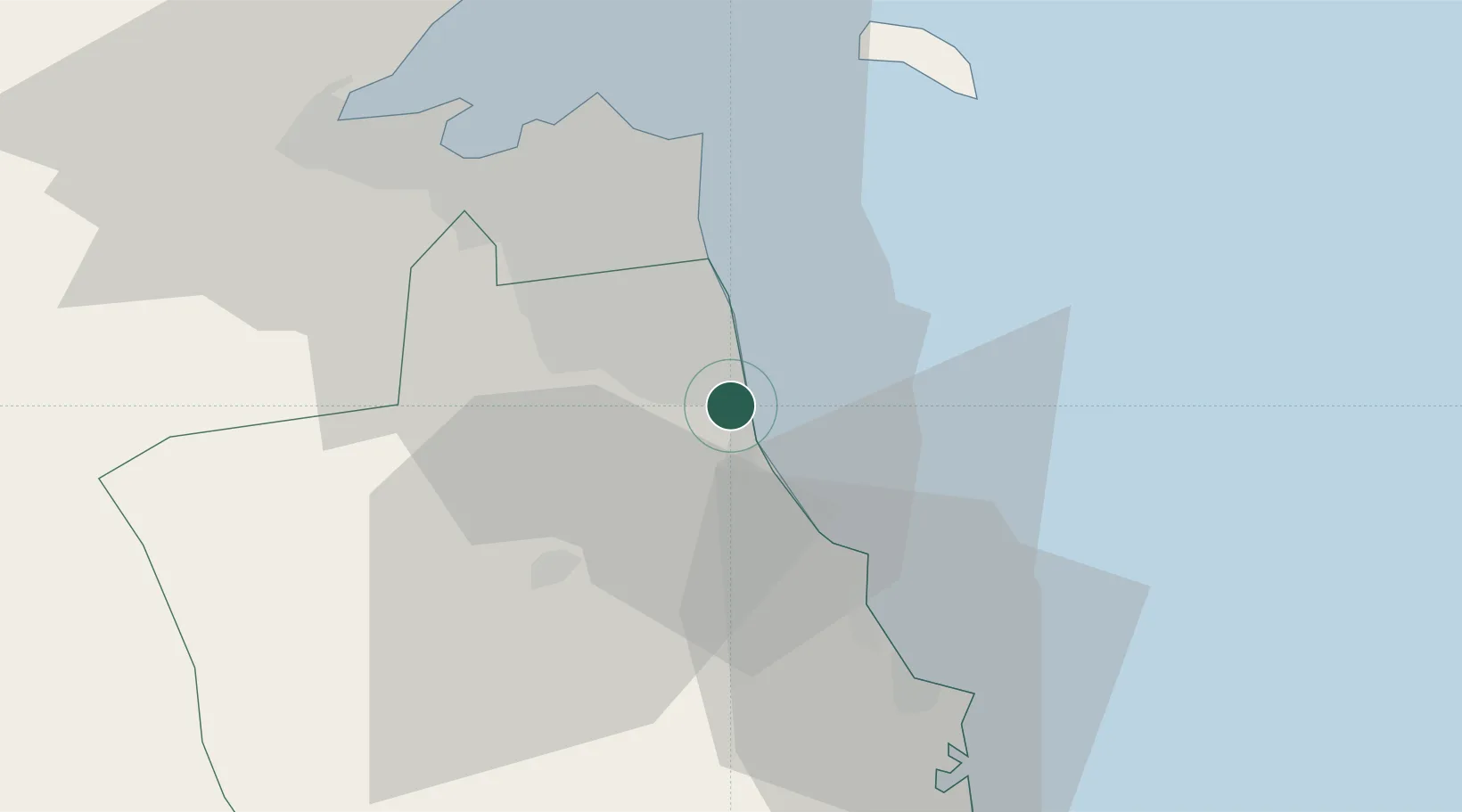
Nearby Logistics Neighbours

Cities
  1. 1Mina' al Ahmadi2 km
  2. 2Ahmadi5 km
  3. 3Mina' 'Abd Allah6 km
  4. 4Awalli31 km
  5. 5As Salimiyah31 km
Nearest neighbours — logibook spatial index (haversine) over the source coordinates
Ports
  1. 1Mina Al Ahmadi4 km
  2. 2Mina Abd Allah6 km
  3. 3Al Kuwayt38 km
  4. 4Mina Az Zawr44 km
  5. 5Doha Harbor49 km
Nearest neighbours — logibook spatial index (haversine) over the source coordinates
Airports
  1. 1Kuwait International Airport25 km
  2. 2Ahmed Al Jaber Air Base36 km
  3. 3Ali Al Salem Air Base68 km
  4. 4Ras Mishab Airport118 km
  5. 5Ras Tanajib Airport146 km
Nearest neighbours — logibook spatial index (haversine) over the source coordinates
Trade Zones
  1. 1Kuwait Free Trade Zone40 km
  2. 2Al Wafra Free Economic Zone51 km
  3. 3Al Naim (Al Shegaya) Free Economic Zone53 km
  4. 4Al Abdali Free Economic Zone119 km
  5. 5Arvand Trade Industrial Free Zone149 km
Nearest neighbours — logibook spatial index (haversine) over the source coordinates
DatabookThe Record of Consolidated Knowledge
Kuwait beyond logistics?
Browse databook

All Sources

LocationsUN/LOCODE
UN/LOCODE — free
Portsthe NGA World Port Index
Public domain (US gov)
AirportsOurAirports
Public domain
Trade Zonesthe World Bank SEZ database
CC BY 4.0
Trade ZonesOpen Zone Map
CC BY
← Kuwait locations