Medium airport · Saudi Arabia

Ras Mishab AirportOERM
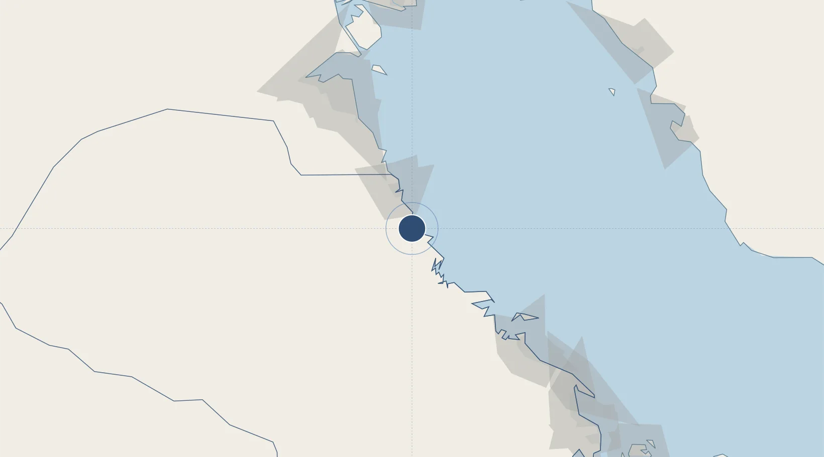
28.0796°, 48.6110°
11,058 ft
Longest runway
1
Runways
13 ft
Elevation

Runway & Layout

Ras Mishab Airport runway & taxiway layout
Runway & taxiway layout — OpenStreetMap (ODbL) / OurAirports

Radio Frequencies

CTAF
122.8 MHz
OurAirports

Navaids

RAS VORTAC Ras Mishab 116.40 MHz
OurAirports

Runways · 1

RunwayDimensions SurfaceTrue headingLit
16/34 11,058 × 98ft Asphalt 164°
OurAirports

Airport Specifications

ICAO code
OERM
OurAirports
Airport class
Medium airport
OurAirports
Scheduled service
No
OurAirports
Runway surface
Asphalt
OurAirports
Served city
Al Mishab
OurAirports

Location

Location of OERM
Natural Earth 10m (public domain) · Ash Sharqiyah · OERM · 28.08, 48.61GoogleOSMYandex

Nearby Logistics Neighbours

Airports
  1. 1Ras Tanajib Airport28 km
  2. 2Ahmed Al Jaber Air Base124 km
  3. 3Jubail Airport140 km
  4. 4Kuwait International Airport142 km
  5. 5Ali Al Salem Air Base177 km
Nearest neighbours — logibook spatial index (haversine) over the source coordinates
Cities
  1. 1Mina Al Zour74 km
  2. 2Mina Saud78 km
  3. 3Ras Al-Khair83 km
  4. 4Mina' 'Abd Allah113 km
  5. 5Shuaiba118 km
Nearest neighbours — logibook spatial index (haversine) over the source coordinates
Ports
  1. 1Ras Al Mishab5 km
  2. 2Ras Al Khafji39 km
  3. 3Mina Az Zawr76 km
  4. 4Mina Abd Allah113 km
  5. 5Mina Ash Shuaybah115 km
Nearest neighbours — logibook spatial index (haversine) over the source coordinates
Trade Zones
  1. 1Al Wafra Free Economic Zone81 km
  2. 2Ras Al-Khair Industrial City86 km
  3. 3Al-Ahsa Al-Aḥsāʾ Industrial City Salwa (Second)146 km
  4. 4Jubail Industrial City154 km
  5. 5Kuwait Free Trade Zone158 km
Nearest neighbours — logibook spatial index (haversine) over the source coordinates
DatabookThe Record of Consolidated Knowledge
Saudi Arabia beyond logistics?
Browse databook

All Sources

AirportsOurAirports
Public domain
Portsthe NGA World Port Index
Public domain (US gov)
LocationsUN/LOCODE
UN/LOCODE — free
Trade Zonesthe World Bank SEZ database
CC BY 4.0
Trade ZonesOpen Zone Map
CC BY
InfrastructureOpenStreetMap
ODbL 1.0
← Saudi Arabia airports