Channel & Berth Profile
Pilotage, Tugs & Services
Pilotage compulsoryYES
Pilotage availableYES
Pilotage advisableYES
Tug assistanceYES
Potable waterYES
MedicalYES
Garbage disposalNO
Facilities & Capabilities
Container—
Ro-Ro—
Liquid bulk—
Dry bulk—
Oil terminal—
Break bulk—
Dry dockNO
RepairsNO
Bunkering—
Rail linkYES
Dangerous cargo—
ISPS security—
Harbour Specifications
Harbour size
Very Small
Harbour type
Coastal (Natural)
Shelter
Poor
Water body
Persian Gulf; Indian Ocean
Tidal range
4 m
Pilotage
Yes
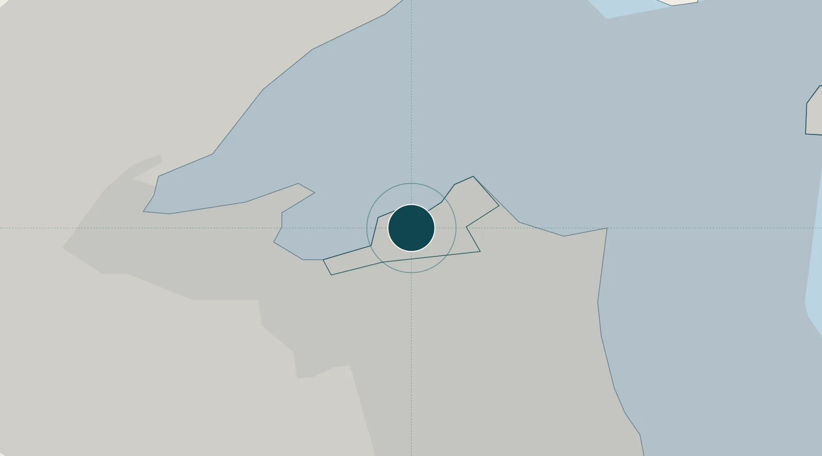
Location
Nearby Logistics Neighbours
Ports
- 1Doha Harbor13 km
- 2Mina Al Ahmadi39 km
- 3Mina Ash Shuaybah42 km
- 4Mina Abd Allah43 km
- 5Umm Qasr74 km
Cities
- 1Shuwaikh2 km
- 2Kaifan4 km
- 3Awalli9 km
- 4Doha13 km
- 5Ra's al Ard15 km
Airports
Trade Zones
DatabookThe Record of Consolidated Knowledge
Kuwait beyond logistics?