Transport Functions
Port
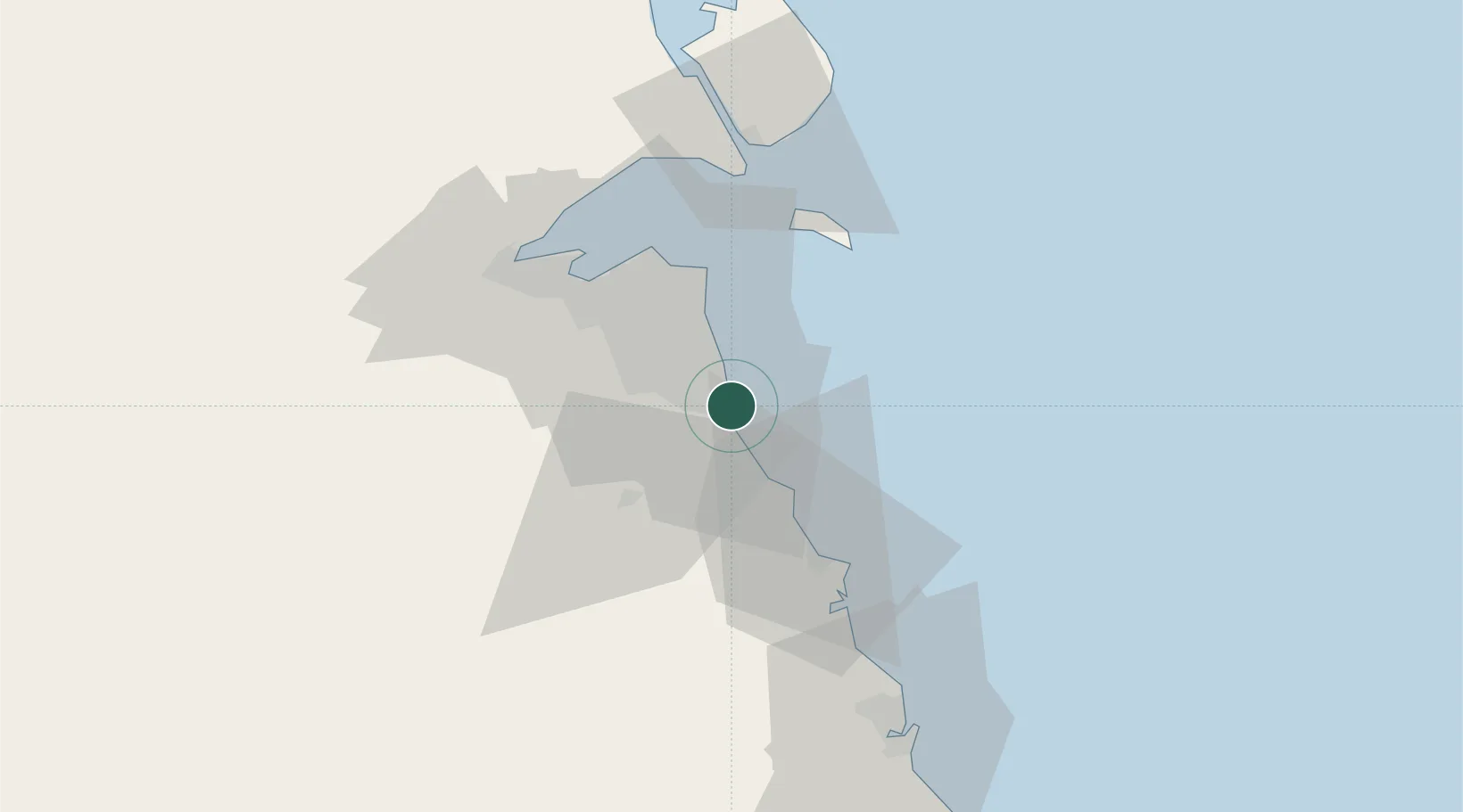
Location
Nearby Logistics Neighbours
Cities
- 1Shuaiba2 km
- 2Mina' 'Abd Allah6 km
- 3Ahmadi7 km
- 4As Salimiyah30 km
- 5Salmiya30 km
Ports
- 1Mina Ash Shuaybah4 km
- 2Mina Abd Allah6 km
- 3Al Kuwayt38 km
- 4Mina Az Zawr44 km
- 5Doha Harbor49 km
Airports
Trade Zones
DatabookThe Record of Consolidated Knowledge
Kuwait beyond logistics?