Free Trade Zone · Kuwait

Al Naim (Al Shegaya) Free Economic Zone Under Development

29.3334°, 47.6859°
600 ha
Zone area
12.4 km
Nearest port
17.0 km
Nearest airport

Gateway access

Nearest neighbours — logibook spatial index (haversine) over the source coordinates

Zone profile

Zone type
Free Trade Zone
Open Zone Map
Region
Al Jahrah
Open Zone Map
Status
Under Development
Open Zone Map
Management
Public
Open Zone Map
Operator
Kuwait Direct Investment Promotion Authority
Open Zone Map
Legal framework
Law No. (116) of 2013, Law No. (26) of 1995
Open Zone Map

Location

Location of ozm-2680
Natural Earth 10m (public domain) · Al Jahrah · ozm-2680 · 29.33, 47.69GoogleOSMYandex

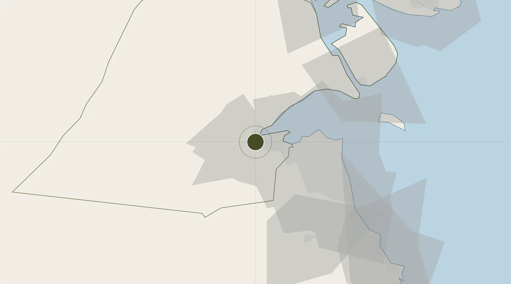
Nearby Logistics Neighbours

Ports
  1. 1Doha Harbor12 km
  2. 2Al Kuwayt24 km
  3. 3Mina Al Ahmadi55 km
  4. 4Mina Ash Shuaybah57 km
  5. 5Mina Abd Allah59 km
Nearest neighbours — logibook spatial index (haversine) over the source coordinates
Airports
  1. 1Ali Al Salem Air Base17 km
  2. 2Kuwait International Airport30 km
  3. 3Ahmed Al Jaber Air Base46 km
  4. 4Abadan Ayatollah Jami International Airport126 km
  5. 5Basra International Airport135 km
Nearest neighbours — logibook spatial index (haversine) over the source coordinates
Cities
  1. 1Doha12 km
  2. 2Shuwaikh22 km
  3. 3Kaifan27 km
  4. 4Awalli32 km
  5. 5As Salimiyah39 km
Nearest neighbours — logibook spatial index (haversine) over the source coordinates
Trade Zones
  1. 1Kuwait Free Trade Zone21 km
  2. 2Al Abdali Free Economic Zone74 km
  3. 3Al Wafra Free Economic Zone88 km
  4. 4Arvand Trade Industrial Free Zone128 km
  5. 5Hafar Al-Batin Industrial City181 km
Nearest neighbours — logibook spatial index (haversine) over the source coordinates
DatabookThe Record of Consolidated Knowledge
Kuwait beyond logistics?
Browse databook

All Sources

Trade ZonesOpen Zone Map
CC BY
Portsthe NGA World Port Index
Public domain (US gov)
AirportsOurAirports
Public domain
LocationsUN/LOCODE
UN/LOCODE — free
← Kuwait trade zones