Channel & Berth Profile
Pilotage, Tugs & Services
Pilotage compulsoryYES
Pilotage availableYES
Pilotage advisableYES
Tug assistanceYES
Potable waterYES
Diesel bunkersYES
MedicalYES
Garbage disposalYES
Facilities & Capabilities
Container—
Ro-Ro—
Liquid bulk—
Dry bulk—
Oil terminal—
Break bulk—
Dry dock—
RepairsNO
BunkeringYES
Rail link—
Dangerous cargo—
ISPS security—
Harbour Specifications
Harbour size
Medium
Harbour type
Open Roadstead
Shelter
Fair
Water body
Persian Gulf; Indian Ocean
Tidal range
2 m
Pilotage
Yes
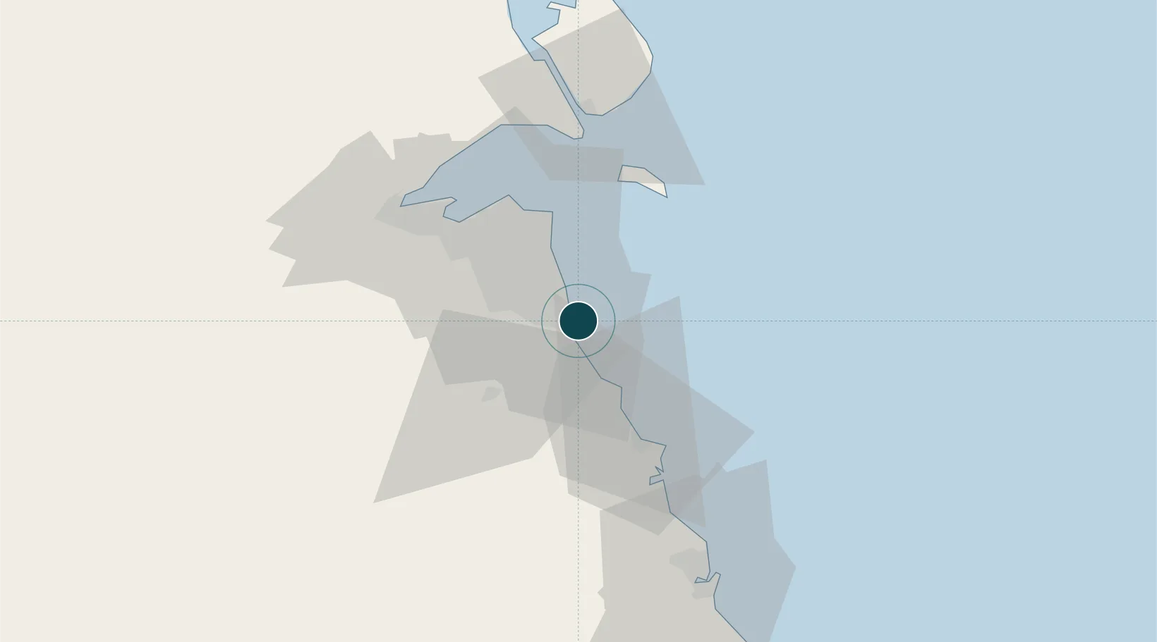
Location
Nearby Logistics Neighbours
Ports
- 1Mina Ash Shuaybah4 km
- 2Mina Abd Allah6 km
- 3Al Kuwayt39 km
- 4Mina Az Zawr44 km
- 5Doha Harbor50 km
Cities
- 1Shuaiba4 km
- 2Mina' 'Abd Allah6 km
- 3Ahmadi8 km
- 4As Salimiyah31 km
- 5Salmiya31 km
Airports
Trade Zones
DatabookThe Record of Consolidated Knowledge
Kuwait beyond logistics?