Free Trade Zone · Saudi Arabia

Hafar Al-Batin Industrial City Active
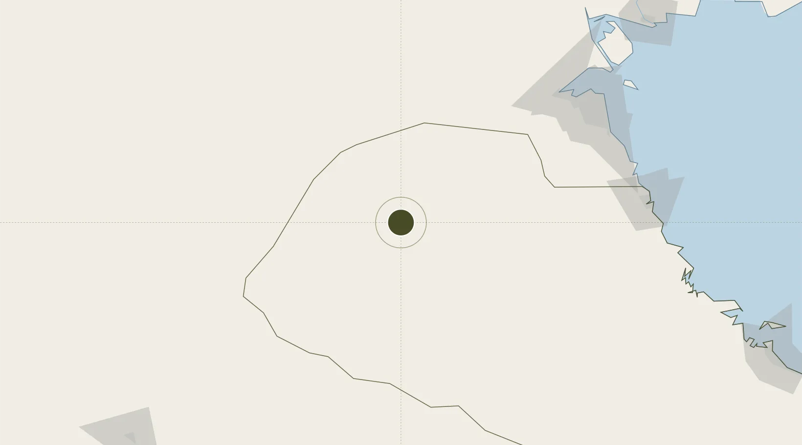
28.2251°, 46.3278°
10,000 ha
Zone area
192.8 km
Nearest port
23.3 km
Nearest airport

Gateway access

Nearest neighbours — logibook spatial index (haversine) over the source coordinates

Zone profile

Zone type
Free Trade Zone
Open Zone Map
Region
Ash Sharqiyah
Open Zone Map
Status
Active
Open Zone Map
Management
Public
Open Zone Map
Operator
Saudi Authority for Industrial Estates and Technology Zones
Open Zone Map
Legal framework
Ministerial Legislation No. 235 dated 27/8/1422H
Open Zone Map

Location

Location of ozm-4095
Natural Earth 10m (public domain) · Ash Sharqiyah · ozm-4095 · 28.23, 46.33GoogleOSMYandex

Nearby Logistics Neighbours

Ports
  1. 1Doha Harbor193 km
  2. 2Mina Abd Allah200 km
  3. 3Al Kuwayt200 km
  4. 4Mina Ash Shuaybah201 km
  5. 5Mina Al Ahmadi202 km
Nearest neighbours — logibook spatial index (haversine) over the source coordinates
Airports
  1. 1Al Qaisumah/Hafr Al Batin Airport23 km
  2. 2King Khaled Military City Airport86 km
  3. 3Ahmed Al Jaber Air Base163 km
  4. 4Ali Al Salem Air Base170 km
  5. 5Kuwait International Airport195 km
Nearest neighbours — logibook spatial index (haversine) over the source coordinates
Cities
  1. 1Doha193 km
  2. 2Ahmadi195 km
  3. 3Shuaiba199 km
  4. 4Shuwaikh199 km
  5. 5Mina' 'Abd Allah200 km
Nearest neighbours — logibook spatial index (haversine) over the source coordinates
Trade Zones
  1. 1Al Wafra Free Economic Zone172 km
  2. 2Al Naim (Al Shegaya) Free Economic Zone181 km
  3. 3Kuwait Free Trade Zone198 km
  4. 4Al Abdali Free Economic Zone228 km
  5. 5Al-Zulfi Industrial City257 km
Nearest neighbours — logibook spatial index (haversine) over the source coordinates
DatabookThe Record of Consolidated Knowledge
Saudi Arabia beyond logistics?
Browse databook

All Sources

Trade ZonesOpen Zone Map
CC BY
Portsthe NGA World Port Index
Public domain (US gov)
AirportsOurAirports
Public domain
LocationsUN/LOCODE
UN/LOCODE — free
← Saudi Arabia trade zones