Transport Functions
Multimodal
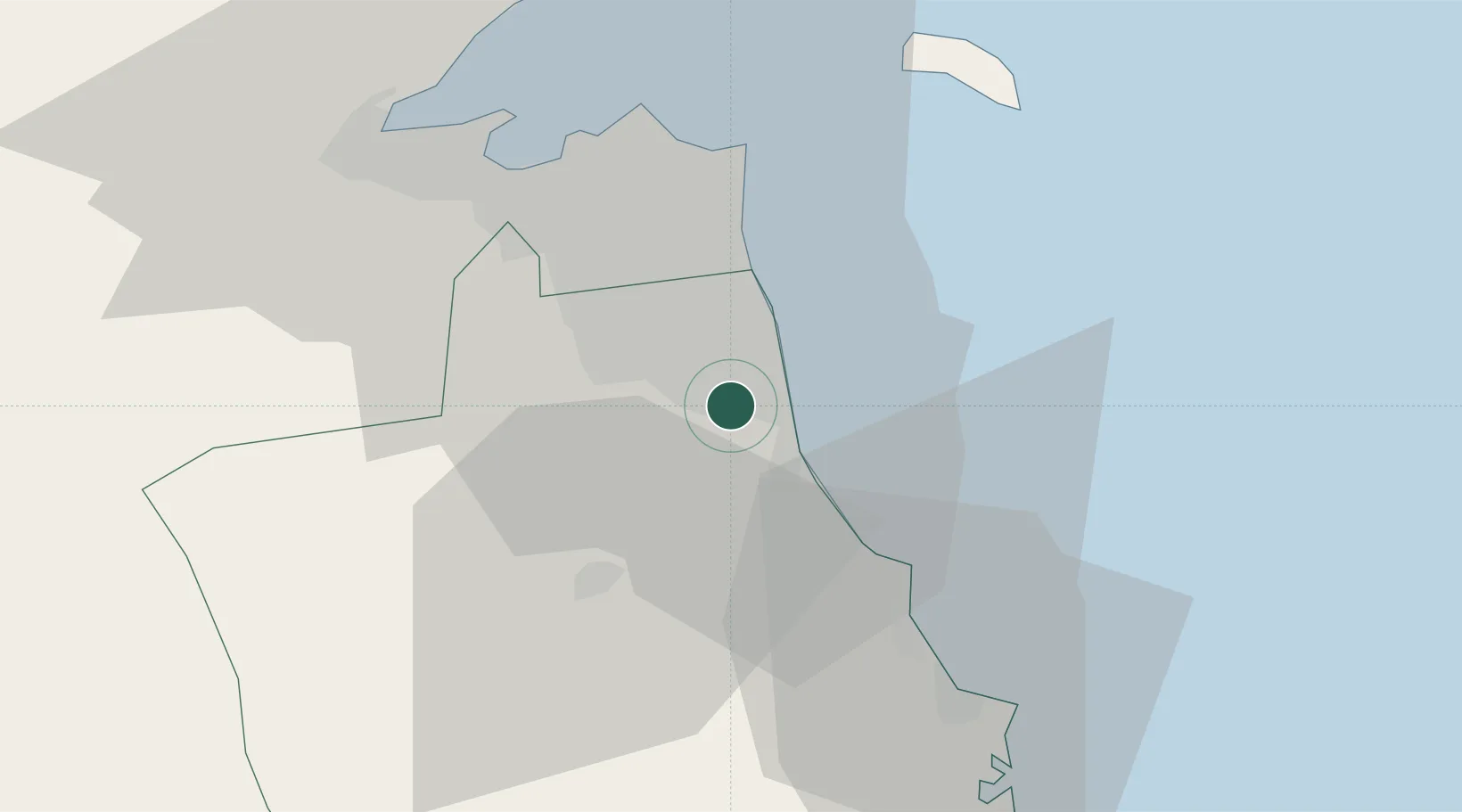
Location
Nearby Logistics Neighbours
Cities
- 1Shuaiba5 km
- 2Mina' al Ahmadi7 km
- 3Mina' 'Abd Allah10 km
- 4Awalli29 km
- 5As Salimiyah30 km
Ports
- 1Mina Al Ahmadi8 km
- 2Mina Ash Shuaybah9 km
- 3Mina Abd Allah10 km
- 4Al Kuwayt35 km
- 5Doha Harbor45 km
Airports
Trade Zones
DatabookThe Record of Consolidated Knowledge
Kuwait beyond logistics?