Large airport · Iran

Abadan Ayatollah Jami International AirportOIAA
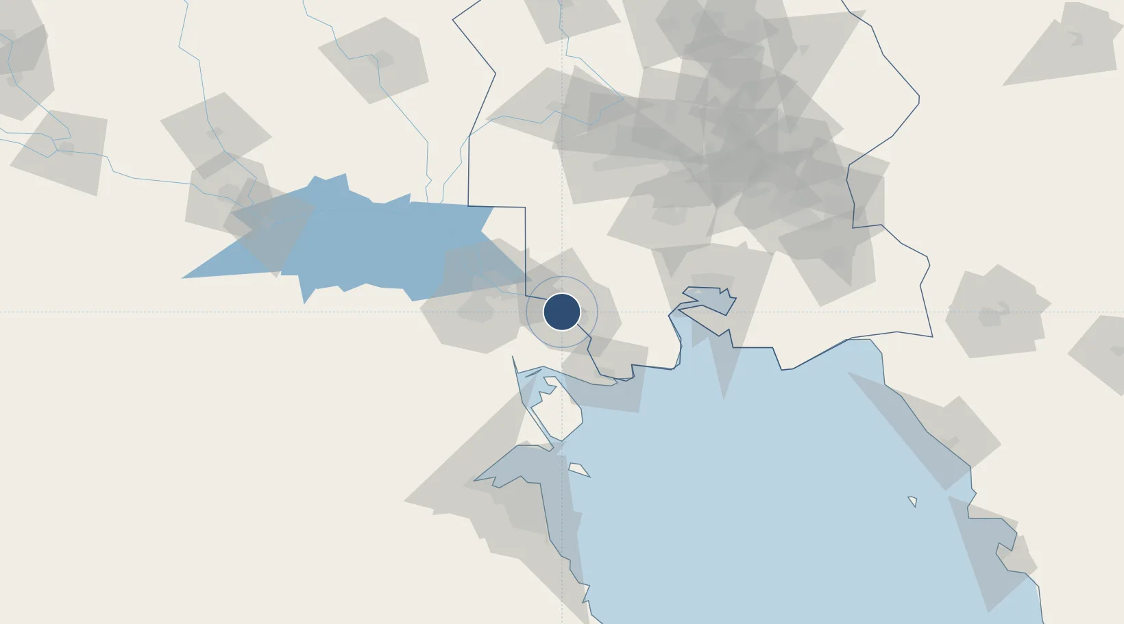
30.3679°, 48.2301°
10,169 ft
Longest runway
2
Runways
10 ft
Elevation

Runway & Layout

Abadan Ayatollah Jami International Airport runway & taxiway layout
Runway & taxiway layout — OpenStreetMap (ODbL) / OurAirports

Radio Frequencies

ATIS
126.85 MHz
TWR
118.1 MHz
OurAirports

Navaids

ABD VOR-DME Abadan 114.50 MHz
OurAirports

Runways · 2

RunwayDimensions SurfaceTrue headingLit
14R/32L 10,169 × 148ft Asphalt 145°
14L/32R 7,437 × 115ft Asphalt 145°
OurAirports

Airport Specifications

IATA code
ABD
OurAirports
ICAO code
OIAA
OurAirports
Airport class
Large airport
OurAirports
Scheduled service
Yes
OurAirports
Runway surface
Asphalt
OurAirports
Served city
Abadan
OurAirports

Location

Location of OIAA
Natural Earth 10m (public domain) · Khuzestan · OIAA · 30.37, 48.23GoogleOSMYandex

Nearby Logistics Neighbours

Airports
  1. 1Basra International Airport58 km
  2. 2Mahshahr Airport91 km
  3. 3Qasem Soleimani International Airport119 km
  4. 4Kuwait International Airport130 km
  5. 5Ali Al Salem Air Base133 km
Nearest neighbours — logibook spatial index (haversine) over the source coordinates
Cities
  1. 1Umm Qasr Port46 km
  2. 2Mafraq Ash Shuaybah57 km
  3. 3Imam Khomeini Pt/ Mahshahr City80 km
  4. 4Bandar-e Emam Khomeyni84 km
  5. 5Bandar Khomeini84 km
Nearest neighbours — logibook spatial index (haversine) over the source coordinates
Ports
  1. 1Abadan6 km
  2. 2Khorramshahr9 km
  3. 3Khawr Al Zubair38 km
  4. 4Al Basrah42 km
  5. 5Umm Qasr47 km
Nearest neighbours — logibook spatial index (haversine) over the source coordinates
Trade Zones
  1. 1Arvand Trade Industrial Free Zone3 km
  2. 2Al Abdali Free Economic Zone80 km
  3. 3Imam Khomeini Port80 km
  4. 4Petrochemical Special Economic Zone83 km
  5. 5Kuwait Free Trade Zone117 km
Nearest neighbours — logibook spatial index (haversine) over the source coordinates
DatabookThe Record of Consolidated Knowledge
Iran beyond logistics?
Browse databook

All Sources

AirportsOurAirports
Public domain
Portsthe NGA World Port Index
Public domain (US gov)
LocationsUN/LOCODE
UN/LOCODE — free
Trade Zonesthe World Bank SEZ database
CC BY 4.0
Trade ZonesOpen Zone Map
CC BY
InfrastructureOpenStreetMap
ODbL 1.0
← Iran airports