Free Trade Zone · Kuwait

Al Abdali Free Economic Zone Under Development
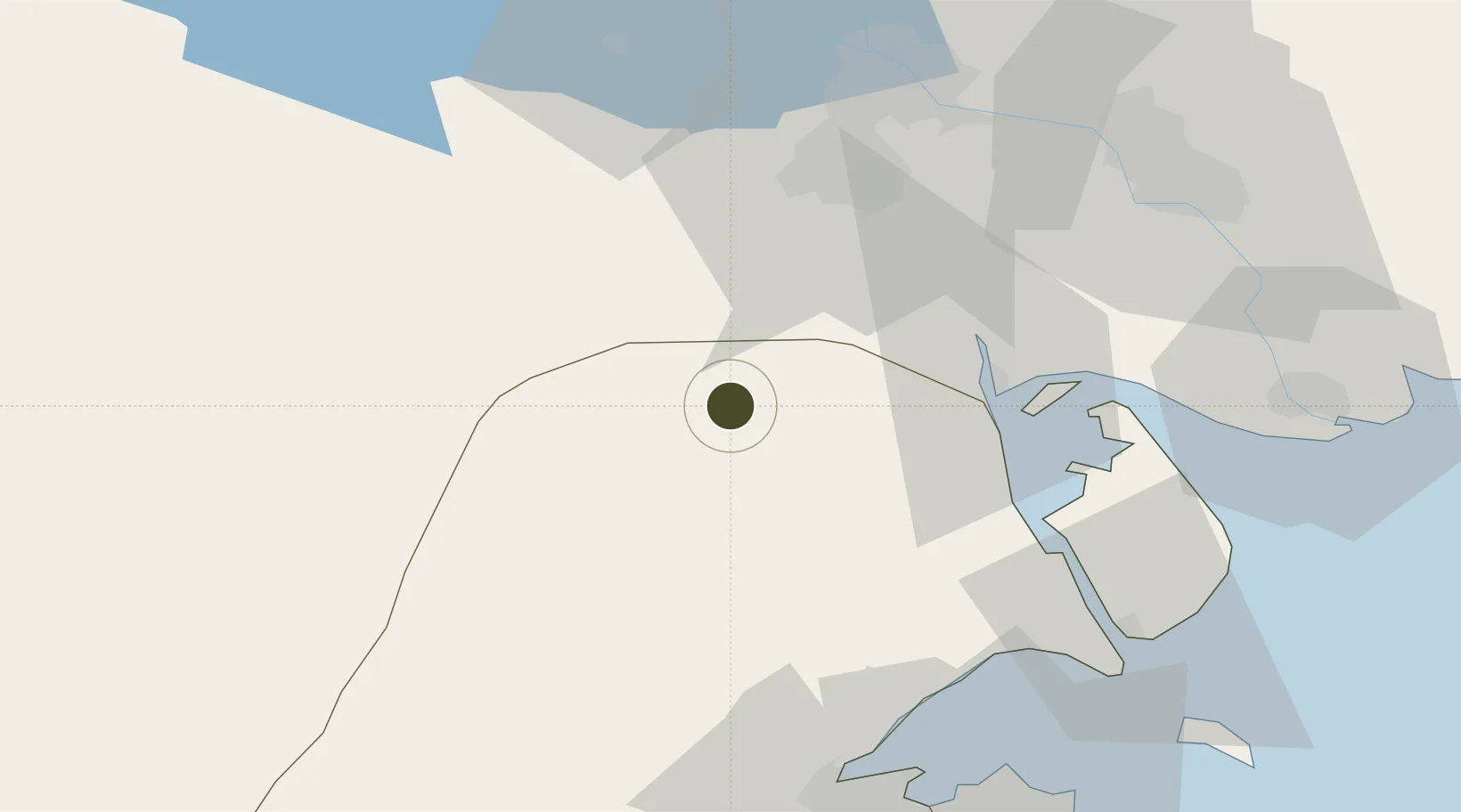
29.9875°, 47.5286°
600 ha
Zone area
40.7 km
Nearest port
63.7 km
Nearest airport

Gateway access

Nearest neighbours — logibook spatial index (haversine) over the source coordinates

Zone profile

Zone type
Free Trade Zone
Open Zone Map
Region
Al Jahrah
Open Zone Map
Status
Under Development
Open Zone Map
Management
Public
Open Zone Map
Operator
Kuwait Direct Investment Promotion Authority
Open Zone Map
Legal framework
Law No. (116) of 2013, Law No. (26) of 1995
Open Zone Map

Location

Location of ozm-2682
Natural Earth 10m (public domain) · Al Jahrah · ozm-2682 · 29.99, 47.53GoogleOSMYandex

Nearby Logistics Neighbours

Ports
  1. 1Umm Qasr41 km
  2. 2Khawr Al Zubair42 km
  3. 3Al Basrah66 km
  4. 4Doha Harbor72 km
  5. 5Khorramshahr80 km
Nearest neighbours — logibook spatial index (haversine) over the source coordinates
Airports
  1. 1Basra International Airport64 km
  2. 2Ali Al Salem Air Base72 km
  3. 3Abadan Ayatollah Jami International Airport80 km
  4. 4Kuwait International Airport95 km
  5. 5Jalibah Southeast Air Base109 km
Nearest neighbours — logibook spatial index (haversine) over the source coordinates
Cities
  1. 1Umm Qasr Port40 km
  2. 2Mafraq Ash Shuaybah55 km
  3. 3Doha72 km
  4. 4Shuwaikh80 km
  5. 5Kaifan84 km
Nearest neighbours — logibook spatial index (haversine) over the source coordinates
Trade Zones
  1. 1Al Naim (Al Shegaya) Free Economic Zone74 km
  2. 2Kuwait Free Trade Zone79 km
  3. 3Arvand Trade Industrial Free Zone80 km
  4. 4Imam Khomeini Port156 km
  5. 5Petrochemical Special Economic Zone159 km
Nearest neighbours — logibook spatial index (haversine) over the source coordinates
DatabookThe Record of Consolidated Knowledge
Kuwait beyond logistics?
Browse databook

All Sources

Trade ZonesOpen Zone Map
CC BY
Portsthe NGA World Port Index
Public domain (US gov)
AirportsOurAirports
Public domain
LocationsUN/LOCODE
UN/LOCODE — free
← Kuwait trade zones