Free Trade Zone · Syria

Daraa Free Zone Active
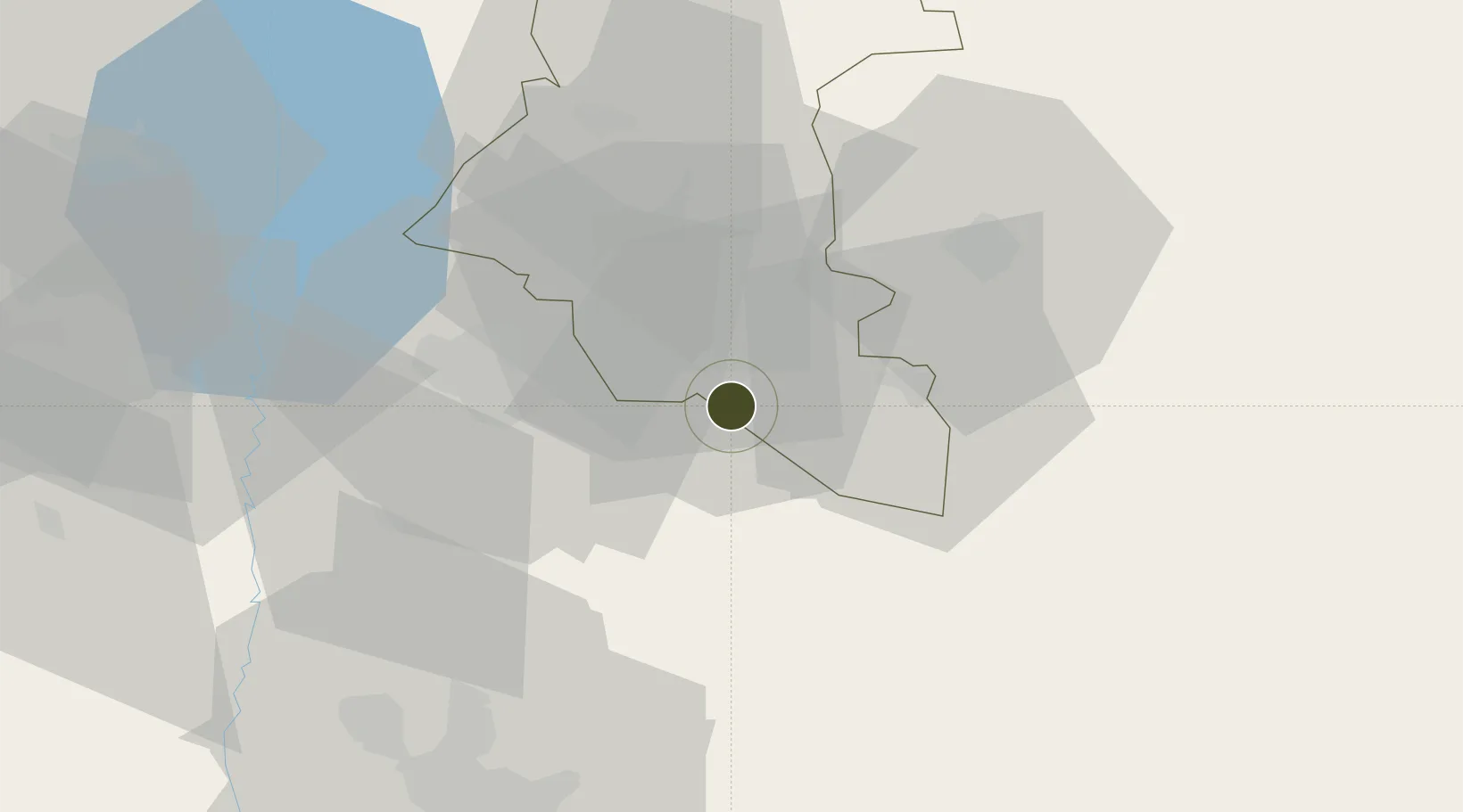
32.5093°, 36.2242°
162 ha
Zone area
119.6 km
Nearest port
63.5 km
Nearest airport

Gateway access

Nearest neighbours — logibook spatial index (haversine) over the source coordinates

Zone profile

Zone type
Free Trade Zone
Open Zone Map
Region
Dar`a
Open Zone Map
Status
Active
Open Zone Map
Management
Public
Open Zone Map
Operator
The General Establishment of Free Zones
Open Zone Map
Legal framework
Investment Law No. 10 (1991) and Its Amending Decrees No. 7 (2000) and Nos. 8 and 9 on January 27, 2007.
Open Zone Map

Location

Location of ozm-4375
Natural Earth 10m (public domain) · Dar`a · ozm-4375 · 32.51, 36.22GoogleOSMYandex

Nearby Logistics Neighbours

Ports
  1. 1Haifa120 km
  2. 2Hadera124 km
  3. 3Sayda137 km
  4. 4Sidon/zahrani Terminal142 km
  5. 5Ashdod167 km
Nearest neighbours — logibook spatial index (haversine) over the source coordinates
Airports
  1. 1Marka International (Amman Civil) Airport64 km
  2. 2Khalkhalah Air Base71 km
  3. 3Rosh Pina Airport81 km
  4. 4Queen Alia International Airport90 km
  5. 5Muwaffaq Salti Air Base92 km
Nearest neighbours — logibook spatial index (haversine) over the source coordinates
Cities
  1. 1Beit Shean Jordan Cargo Terminal44 km
  2. 2Beit Shean Jordan Meshakef45 km
  3. 3Zarka Free Zone49 km
  4. 4Arava Terminal Zin62 km
  5. 5Newe Ur64 km
Nearest neighbours — logibook spatial index (haversine) over the source coordinates
Trade Zones
  1. 1Al-Hassan Industrial estate18 km
  2. 2King Hussein bin Talal Development Zone19 km
  3. 3Al Mafraq Industrial Estate19 km
  4. 4Irbid Development Area23 km
  5. 5Jarash Development Zone46 km
Nearest neighbours — logibook spatial index (haversine) over the source coordinates
DatabookThe Record of Consolidated Knowledge
Syria beyond logistics?
Browse databook

All Sources

Trade ZonesOpen Zone Map
CC BY
Portsthe NGA World Port Index
Public domain (US gov)
AirportsOurAirports
Public domain
LocationsUN/LOCODE
UN/LOCODE — free
← Syria trade zones