Medium airport · United States

Telluride Regional AirportKTEX

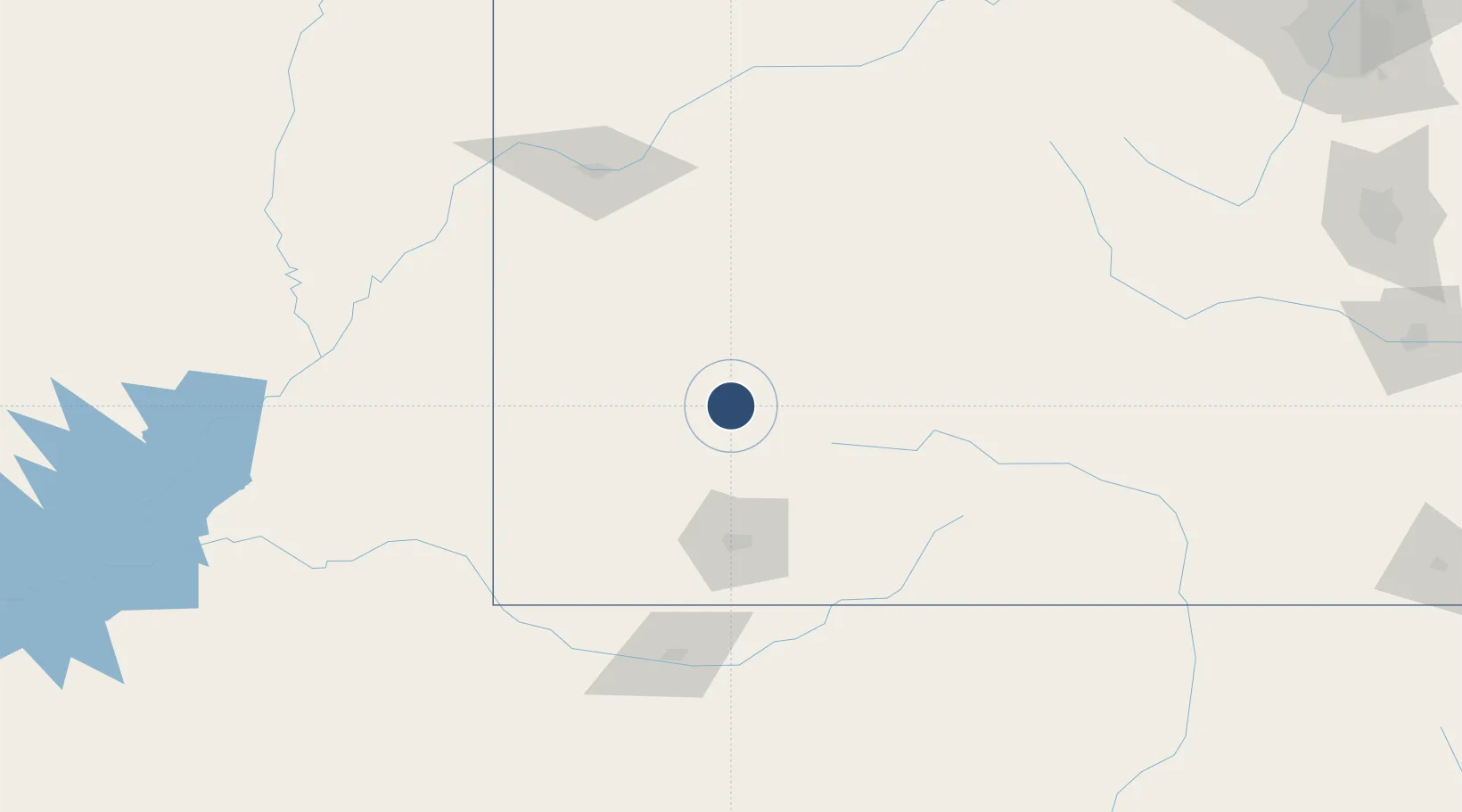
37.9538°, -107.9080°
7,111 ft
Longest runway
1
Runways
9,070 ft
Elevation

Runway & Layout

Telluride Regional Airport runway & taxiway layout
Runway & taxiway layout — OpenStreetMap (ODbL) / OurAirports

Radio Frequencies

CNTR
125.35 MHz
DENVER CNTR
FSS
122.15 MHz
DENVER RDO
UNIC
123 MHz
CTAF/UNICOM
OurAirports

Runways · 1

RunwayDimensions SurfaceTrue headingLit
09/27 7,111 × 100ft Asphalt 105°
OurAirports

Airport Specifications

IATA code
TEX
OurAirports
ICAO code
KTEX
OurAirports
Airport class
Medium airport
OurAirports
Scheduled service
Yes
OurAirports
Runway surface
Asphalt
OurAirports
Served city
Telluride
OurAirports

Location

Location of KTEX
Natural Earth 10m (public domain) · Colorado · KTEX · 37.95, -107.91GoogleOSMYandex

Nearby Logistics Neighbours

Airports
  1. 1Montrose Regional Airport62 km
  2. 2Durango La Plata County Airport90 km
  3. 3Cortez Municipal Airport96 km
  4. 4Gunnison Crested Butte Regional Airport107 km
  5. 5Four Corners Regional Airport138 km
Nearest neighbours — logibook spatial index (haversine) over the source coordinates
Cities
  1. 1Telluride10 km
  2. 2Ridgeway19 km
  3. 3Silverton28 km
  4. 4Dolores75 km
  5. 5Delta90 km
Nearest neighbours — logibook spatial index (haversine) over the source coordinates
Ports
  1. 1Newport Beach1021 km
  2. 2San Diego1022 km
  3. 3Rosarito1040 km
  4. 4Ensenada1044 km
  5. 5Guaymas1151 km
Nearest neighbours — logibook spatial index (haversine) over the source coordinates
Trade Zones
  1. 1FTZ No. 112 Colorado Springs286 km
  2. 2FTZ No. 298 Jefferson County310 km
  3. 3FTZ No. 123 Denver322 km
  4. 4FTZ No. 110 Albuquerque334 km
  5. 5FTZ No. 293 Limon394 km
Nearest neighbours — logibook spatial index (haversine) over the source coordinates
DatabookThe Record of Consolidated Knowledge
United States beyond logistics?
Browse databook

All Sources

AirportsOurAirports
Public domain
Portsthe NGA World Port Index
Public domain (US gov)
LocationsUN/LOCODE
UN/LOCODE — free
Trade Zonesthe World Bank SEZ database
CC BY 4.0
Trade ZonesOpen Zone Map
CC BY
InfrastructureOpenStreetMap
ODbL 1.0
← United States airports