Medium airport · United States

Montrose Regional AirportKMTJ

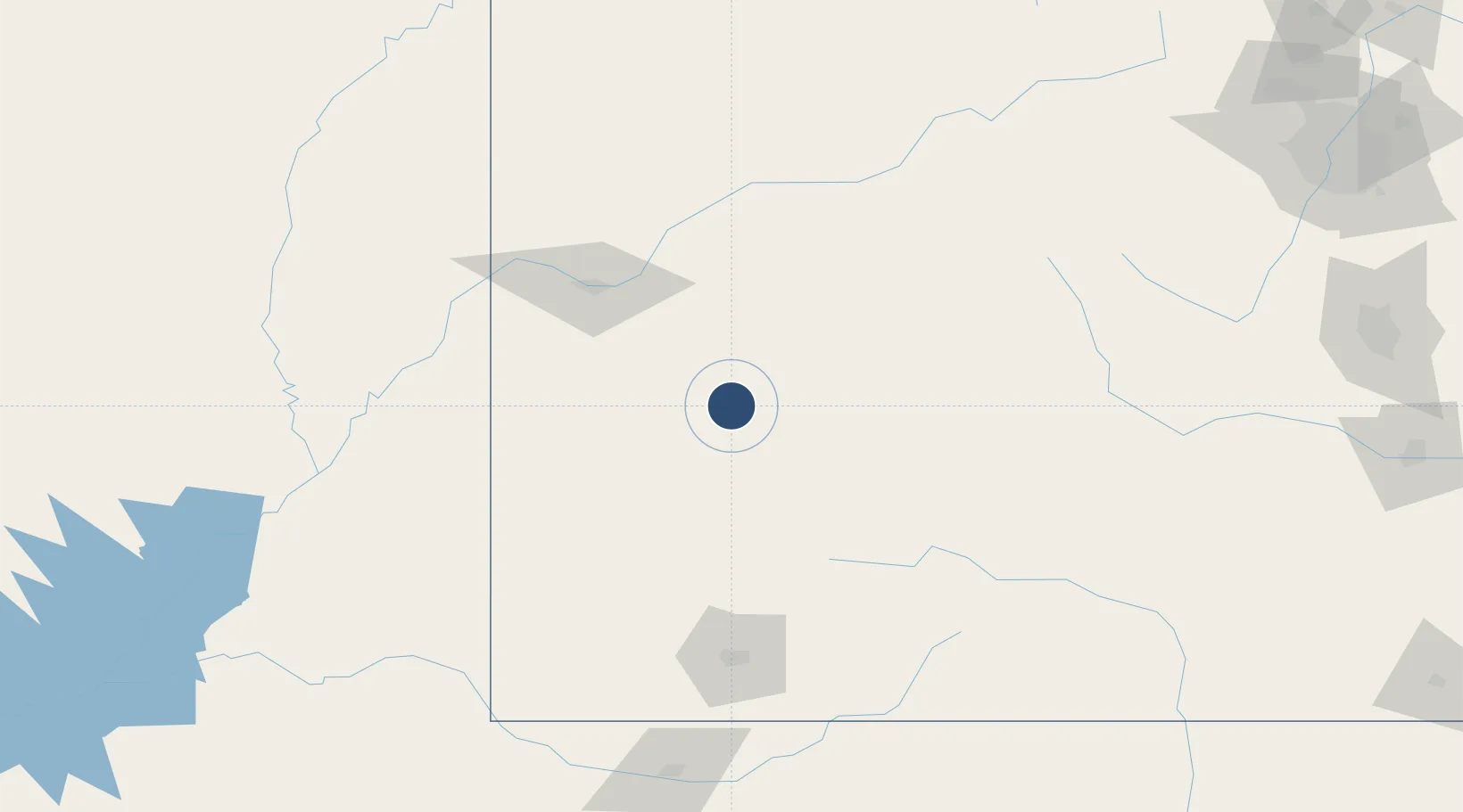
38.5098°, -107.8940°
10,000 ft
Longest runway
2
Runways
5,759 ft
Elevation

Runway & Layout

Montrose Regional Airport runway & taxiway layout
Runway & taxiway layout — OpenStreetMap (ODbL) / OurAirports

Radio Frequencies

ASOS
135.225 MHz
CNTR
125.35 MHz
DENVER CNTR
RDO
122.65 MHz
DENVER RDO
UNIC
122.8 MHz
CTAF/UNICOM
OurAirports

Runways · 2

RunwayDimensions SurfaceTrue headingLit
17/35 10,000 × 150ft Asphalt 180°
13/31 7,510 × 100ft Asphalt 139°
OurAirports

Airport Specifications

IATA code
MTJ
OurAirports
ICAO code
KMTJ
OurAirports
Airport class
Medium airport
OurAirports
Scheduled service
Yes
OurAirports
Runway surface
Asphalt
OurAirports
Served city
Montrose
OurAirports

Location

Location of KMTJ
Natural Earth 10m (public domain) · Colorado · KMTJ · 38.51, -107.89GoogleOSMYandex

Nearby Logistics Neighbours

Airports
  1. 1Telluride Regional Airport62 km
  2. 2Gunnison Crested Butte Regional Airport84 km
  3. 3Grand Junction Regional Airport88 km
  4. 4Garfield County Regional Airport114 km
  5. 5Aspen-Pitkin County Airport (Sardy Field)119 km
Nearest neighbours — logibook spatial index (haversine) over the source coordinates
Cities
  1. 1Ash Grove29 km
  2. 2Austin29 km
  3. 3Delta31 km
  4. 4Ridgeway51 km
  5. 5Somerset60 km
Nearest neighbours — logibook spatial index (haversine) over the source coordinates
Ports
  1. 1Newport Beach1050 km
  2. 2San Diego1057 km
  3. 3Long Beach1063 km
  4. 4Los Angeles1069 km
  5. 5El Segundo1074 km
Nearest neighbours — logibook spatial index (haversine) over the source coordinates
Trade Zones
  1. 1FTZ No. 112 Colorado Springs269 km
  2. 2FTZ No. 298 Jefferson County273 km
  3. 3FTZ No. 123 Denver286 km
  4. 4FTZ No. 293 Limon374 km
  5. 5FTZ No. 110 Albuquerque393 km
Nearest neighbours — logibook spatial index (haversine) over the source coordinates
DatabookThe Record of Consolidated Knowledge
United States beyond logistics?
Browse databook

All Sources

AirportsOurAirports
Public domain
Portsthe NGA World Port Index
Public domain (US gov)
LocationsUN/LOCODE
UN/LOCODE — free
Trade Zonesthe World Bank SEZ database
CC BY 4.0
Trade ZonesOpen Zone Map
CC BY
InfrastructureOpenStreetMap
ODbL 1.0
← United States airports