UN/LOCODE hub · United States
USIER
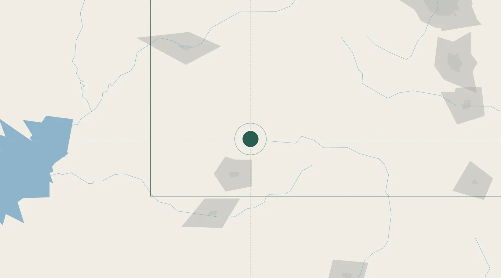
Silverton
37.8000°, -107.6500°
637
Population
2
Transport functions
Transport Functions
Road
Multimodal
Hub Profile
Place type
Provincial seat
Region
Colorado
Population
637
Time zone
America/Denver
Elevation
2,837 m
Location
Nearby Logistics Neighbours
Ports
- 1San Diego1033 km
- 2Newport Beach1035 km
- 3Rosarito1050 km
- 4Ensenada1052 km
- 5Guaymas1140 km
Airports
Trade Zones
- 1FTZ No. 112 Colorado Springs272 km
- 2FTZ No. 298 Jefferson County306 km
- 3FTZ No. 110 Albuquerque311 km
- 4FTZ No. 123 Denver316 km
- 5FTZ No. 293 Limon381 km
DatabookThe Record of Consolidated Knowledge
United States beyond logistics?