Transport Functions
Port
Hub Profile
Place type
Provincial seat
Region
Colorado
Population
8,791
Time zone
America/Denver
Elevation
1,511 m
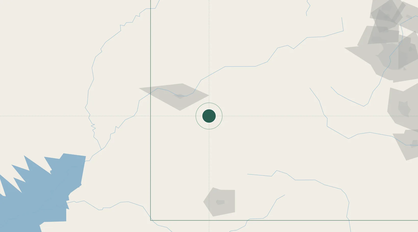
Location
Nearby Logistics Neighbours
Cities
- 1Ash Grove10 km
- 2Austin10 km
- 3Clifton, Mesa51 km
- 4Somerset56 km
- 5Parachute78 km
Ports
- 1Newport Beach1050 km
- 2San Diego1061 km
- 3Long Beach1062 km
- 4Los Angeles1068 km
- 5El Segundo1072 km
Airports
Trade Zones
- 1FTZ No. 298 Jefferson County274 km
- 2FTZ No. 112 Colorado Springs281 km
- 3FTZ No. 123 Denver287 km
- 4FTZ No. 293 Limon383 km
- 5FTZ No. 030 Salt Lake City404 km
DatabookThe Record of Consolidated Knowledge
United States beyond logistics?