Transport Functions
Road
Multimodal
Hub Profile
Place type
Populated place
Region
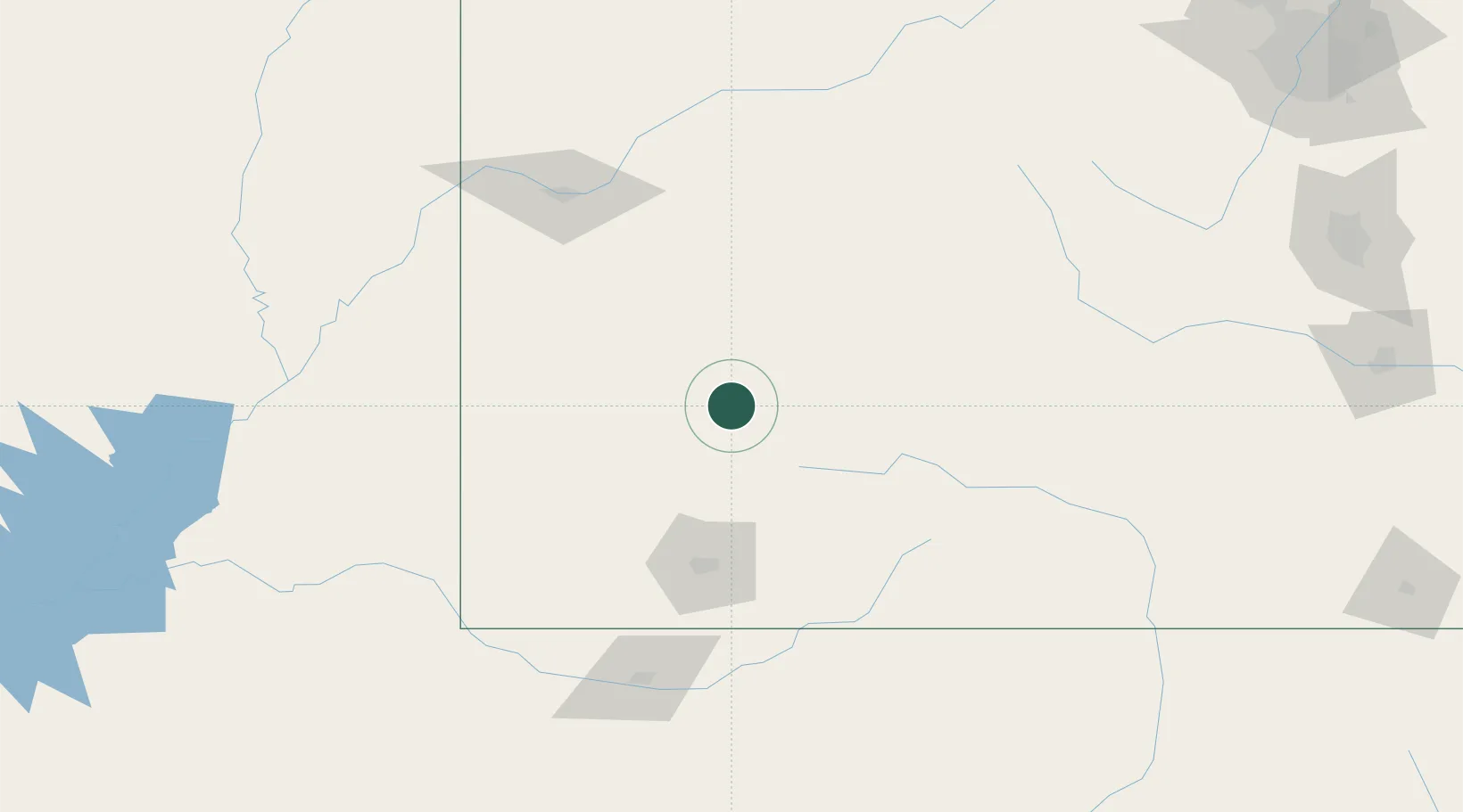
Montana
Time zone
America/Denver
Elevation
1,015 m
Location
Nearby Logistics Neighbours
Ports
- 1Newport Beach1039 km
- 2San Diego1041 km
- 3Long Beach1053 km
- 4Rosarito1059 km
- 5Los Angeles1060 km
Airports
Trade Zones
- 1FTZ No. 112 Colorado Springs269 km
- 2FTZ No. 298 Jefferson County292 km
- 3FTZ No. 123 Denver303 km
- 4FTZ No. 110 Albuquerque342 km
- 5FTZ No. 293 Limon377 km
DatabookThe Record of Consolidated Knowledge
United States beyond logistics?