Transport Functions
Port
Road
Multimodal
Hub Profile
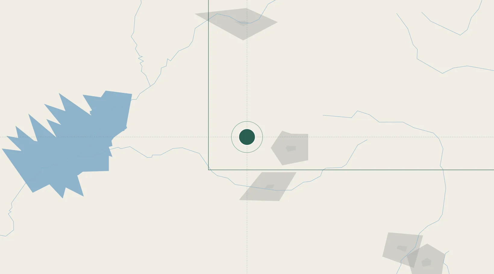
Place type
Populated place
Region
Colorado
Population
963
Time zone
America/Denver
Elevation
2,114 m
Location
Nearby Logistics Neighbours
Ports
- 1San Diego950 km
- 2Newport Beach952 km
- 3Long Beach967 km
- 4Rosarito967 km
- 5Ensenada969 km
Airports
Trade Zones
- 1FTZ No. 110 Albuquerque305 km
- 2FTZ No. 112 Colorado Springs356 km
- 3FTZ No. 298 Jefferson County385 km
- 4FTZ No. 123 Denver396 km
- 5FTZ No. 293 Limon465 km
DatabookThe Record of Consolidated Knowledge
United States beyond logistics?