Medium airport · United States

Cortez Municipal AirportKCEZ

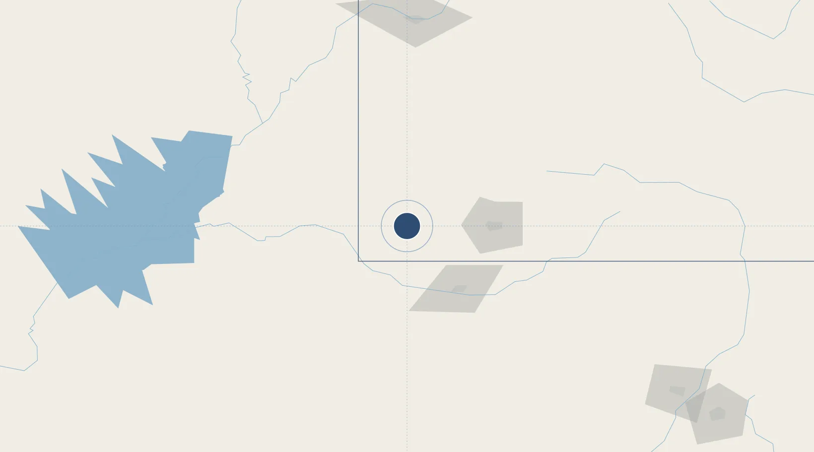
37.3030°, -108.6280°
7,205 ft
Longest runway
1
Runways
5,918 ft
Elevation

Runway & Layout

Cortez Municipal Airport runway & taxiway layout
Runway & taxiway layout — OpenStreetMap (ODbL) / OurAirports

Radio Frequencies

ASOS
135.625 MHz
CNTR
118.575 MHz
DENVER CNTR
RDO
122.3 MHz
DENVER RDO
UNIC
122.8 MHz
CTAF/UNICOM
OurAirports

Runways · 1

RunwayDimensions SurfaceTrue headingLit
03/21 7,205 × 100ft Asphalt 042°
OurAirports

Airport Specifications

IATA code
CEZ
OurAirports
ICAO code
KCEZ
OurAirports
Airport class
Medium airport
OurAirports
Scheduled service
Yes
OurAirports
Runway surface
Asphalt
OurAirports
Served city
Cortez
OurAirports

Location

Location of KCEZ
Natural Earth 10m (public domain) · Colorado · KCEZ · 37.30, -108.63GoogleOSMYandex

Nearby Logistics Neighbours

Airports
  1. 1Four Corners Regional Airport72 km
  2. 2Durango La Plata County Airport79 km
  3. 3Telluride Regional Airport96 km
  4. 4Montrose Regional Airport149 km
  5. 5Canyonlands Regional Airport189 km
Nearest neighbours — logibook spatial index (haversine) over the source coordinates
Cities
  1. 1Dolores21 km
  2. 2Telluride101 km
  3. 3Silverton102 km
  4. 4Ridgeway115 km
  5. 5Delta168 km
Nearest neighbours — logibook spatial index (haversine) over the source coordinates
Ports
  1. 1San Diego931 km
  2. 2Newport Beach934 km
  3. 3Rosarito948 km
  4. 4Long Beach949 km
  5. 5Ensenada949 km
Nearest neighbours — logibook spatial index (haversine) over the source coordinates
Trade Zones
  1. 1FTZ No. 110 Albuquerque296 km
  2. 2FTZ No. 112 Colorado Springs374 km
  3. 3FTZ No. 298 Jefferson County406 km
  4. 4FTZ No. 123 Denver417 km
  5. 5FTZ No. 293 Limon483 km
Nearest neighbours — logibook spatial index (haversine) over the source coordinates
DatabookThe Record of Consolidated Knowledge
United States beyond logistics?
Browse databook

All Sources

AirportsOurAirports
Public domain
Portsthe NGA World Port Index
Public domain (US gov)
LocationsUN/LOCODE
UN/LOCODE — free
Trade Zonesthe World Bank SEZ database
CC BY 4.0
Trade ZonesOpen Zone Map
CC BY
InfrastructureOpenStreetMap
ODbL 1.0
← United States airports