UN/LOCODE hub · United States
USQTR
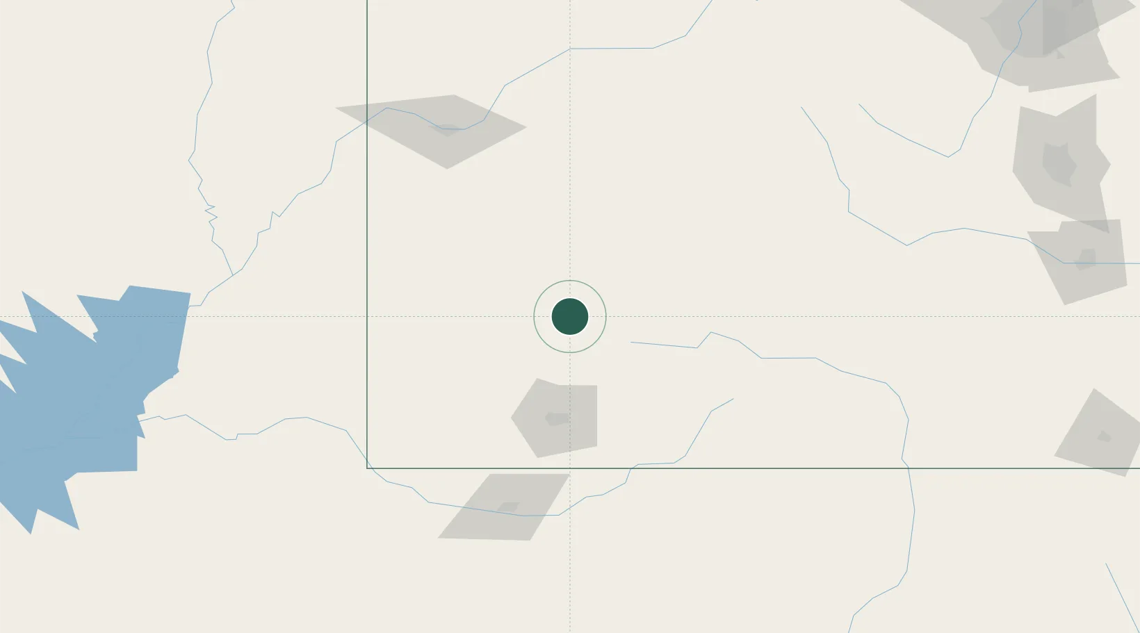
Telluride
37.9333°, -107.8000°
2,399
Population
3
Transport functions
Transport Functions
Road
Airport
Multimodal
Hub Profile
Place type
Provincial seat
Region
Colorado
Population
2,399
Time zone
America/Denver
Elevation
2,680 m
Location
Nearby Logistics Neighbours
Ports
- 1Newport Beach1029 km
- 2San Diego1029 km
- 3Rosarito1047 km
- 4Ensenada1050 km
- 5Guaymas1151 km
Airports
Trade Zones
- 1FTZ No. 112 Colorado Springs278 km
- 2FTZ No. 298 Jefferson County305 km
- 3FTZ No. 123 Denver316 km
- 4FTZ No. 110 Albuquerque329 km
- 5FTZ No. 293 Limon387 km
DatabookThe Record of Consolidated Knowledge
United States beyond logistics?