Medium airport · United States
Casper-Natrona County International AirportKCPR
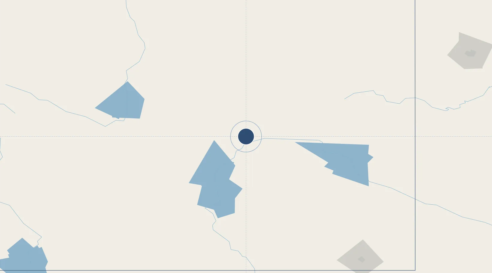
42.9074°, -106.4616°
10,165 ft
Longest runway
2
Runways
5,350 ft
Elevation
Runway & Layout

Radio Frequencies
ATIS
126.15 MHz
TWR
118.3 MHz
CASPER TWR
CTAF
118.3 MHz
A/D
119 MHz
CASPER APP/DEP
AAS
118.3 MHz
VFR ADVSY SVC
GCCD
121.9 MHz
CASPER GND/CLNC DEL
RDO
122.2 MHz
CASPER RDO
UNIC
122.95 MHz
UNICOM
Navaids
CP NDB Johno 375 kHz
DDY VORTAC Muddy Mountain 116.20 MHz
Runways · 2
| Runway | Dimensions | Surface | True heading | Lit |
|---|---|---|---|---|
| 03/21 | 10,165 × 150ft | Asphalt | 044° | ✓ |
| 17/35 | 7,696 × 60ft | Asphalt | 179° | — |
Airport Specifications
IATA code
CPR
ICAO code
KCPR
Airport class
Medium airport
Scheduled service
Yes
Runway surface
Asphalt
Served city
Casper
Location
Nearby Logistics Neighbours
Airports
- 1Rawlins Municipal Airport/Harvey Field137 km
- 2Central Wyoming Regional Airport164 km
- 3Worland Municipal Airport168 km
- 4Northeast Wyoming Regional Airport177 km
- 5Hunt Field185 km
Cities
- 1Mills11 km
- 2Evansville17 km
- 3Glenrock48 km
- 4Medicine Bow114 km
- 5Upton132 km
Ports
- 1The Dalles1208 km
- 2Duluth1209 km
- 3Superior1210 km
- 4Sacramento1353 km
- 5Stockton1369 km
Trade Zones
- 1FTZ No. 298 Jefferson County369 km
- 2FTZ No. 123 Denver373 km
- 3FTZ No. 293 Limon467 km
- 4FTZ No. 112 Colorado Springs474 km
- 5FTZ No. 030 Salt Lake City516 km
DatabookThe Record of Consolidated Knowledge
United States beyond logistics?