UN/LOCODE hub · United States
USPFS
Point of Rocks
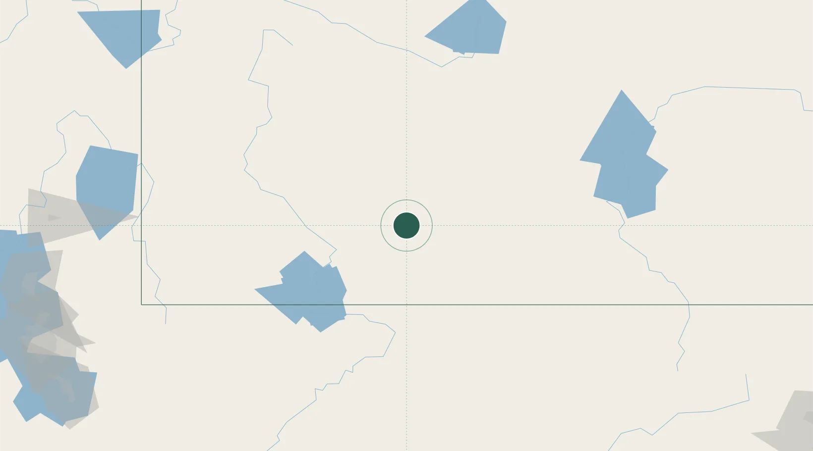
41.6833°, -108.7667°
3
Population
2
Transport functions
Transport Functions
Rail
Road
Hub Profile
Place type
Populated place
Region
Wyoming
Population
3
Time zone
America/Denver
Elevation
1,990 m
Location
Nearby Logistics Neighbours
Cities
- 1Reliance35 km
- 2Cokeville131 km
- 3Diamondville147 km
- 4Medicine Bow214 km
- 5Upton215 km
Ports
- 1The Dalles1088 km
- 2Sacramento1135 km
- 3Stockton1147 km
- 4Courtland1151 km
- 5Walnut Grove1151 km
Airports
- 1Southwest Wyoming Regional Airport27 km
- 2Hunt Field126 km
- 3Rawlins Municipal Airport/Harvey Field131 km
- 4Miley Memorial Field150 km
- 5Ralph Wenz Field150 km
Trade Zones
- 1FTZ No. 030 Salt Lake City288 km
- 2FTZ No. 298 Jefferson County373 km
- 3FTZ No. 123 Denver385 km
- 4FTZ No. 112 Colorado Springs461 km
- 5FTZ No. 293 Limon507 km
DatabookThe Record of Consolidated Knowledge
United States beyond logistics?