Medium airport · United States
Southwest Wyoming Regional AirportKRKS
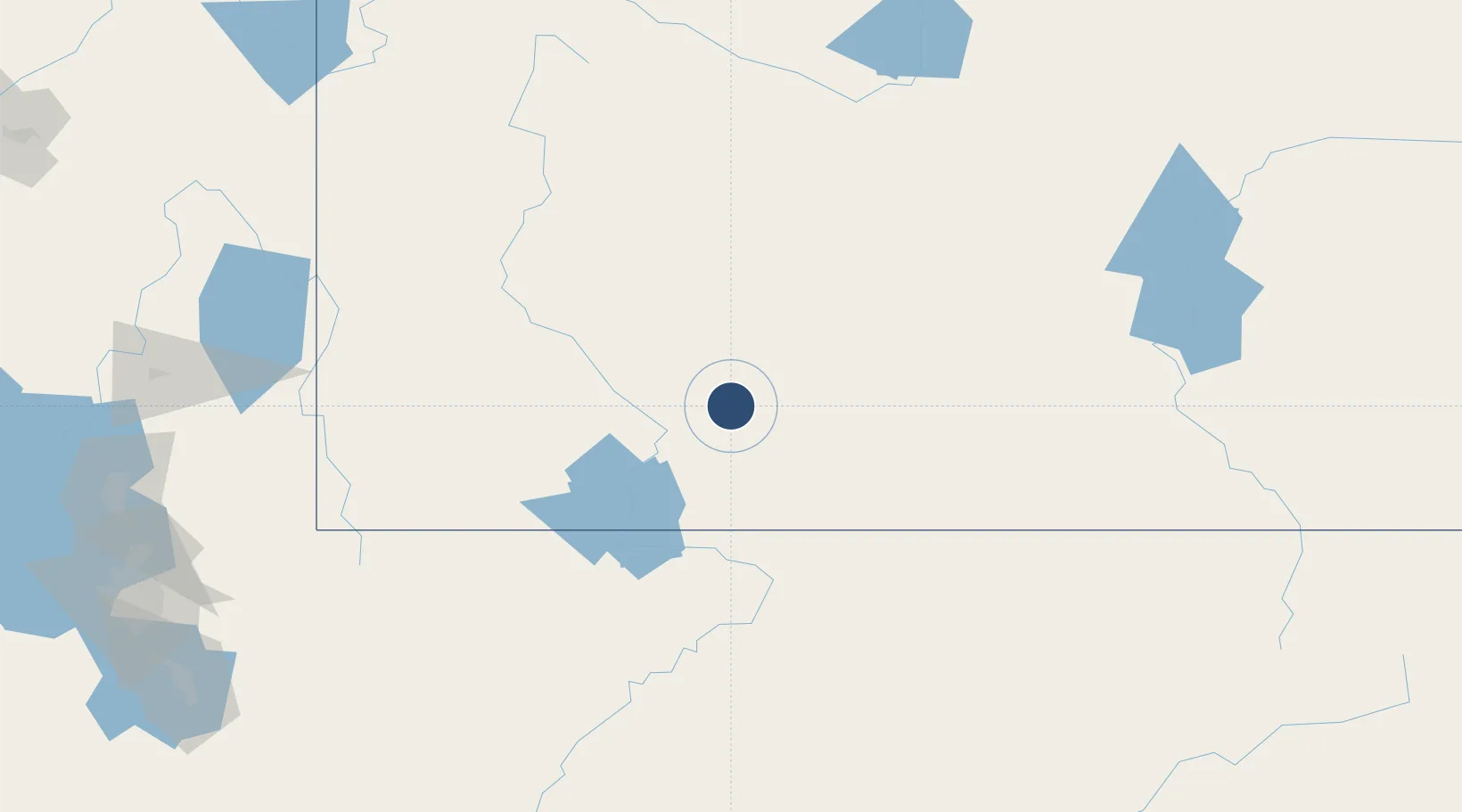
41.5942°, -109.0650°
10,002 ft
Longest runway
2
Runways
6,764 ft
Elevation
Runway & Layout

Radio Frequencies
ASOS
118.375 MHz
RDO
122.6 MHz
CASPER RDO
UNIC
122.8 MHz
CTAF/UNICOM
Navaids
AOP NDB Antelope 290 kHz
OCS VORTAC Rock Springs 116.00 MHz
Runways · 2
| Runway | Dimensions | Surface | True heading | Lit |
|---|---|---|---|---|
| 09/27 | 10,002 × 150ft | Asphalt | 103° | ✓ |
| 03/21 | 5,228 × 75ft | Asphalt | 045° | ✓ |
Airport Specifications
IATA code
RKS
ICAO code
KRKS
Airport class
Medium airport
Scheduled service
Yes
Runway surface
Asphalt
Served city
Rock Springs
Location
Nearby Logistics Neighbours
Airports
- 1Vernal Regional Airport134 km
- 2Hunt Field139 km
- 3Miley Memorial Field140 km
- 4Ralph Wenz Field147 km
- 5Rawlins Municipal Airport/Harvey Field157 km
Cities
- 1Reliance13 km
- 2Point of Rocks27 km
- 3Cokeville113 km
- 4Diamondville123 km
- 5Henefer207 km
Ports
- 1The Dalles1071 km
- 2Sacramento1108 km
- 3Stockton1120 km
- 4Courtland1124 km
- 5Walnut Grove1125 km
Trade Zones
- 1FTZ No. 030 Salt Lake City261 km
- 2FTZ No. 298 Jefferson County389 km
- 3FTZ No. 123 Denver401 km
- 4FTZ No. 112 Colorado Springs473 km
- 5FTZ No. 293 Limon524 km
DatabookThe Record of Consolidated Knowledge
United States beyond logistics?