UN/LOCODE hub · United States
USVNI
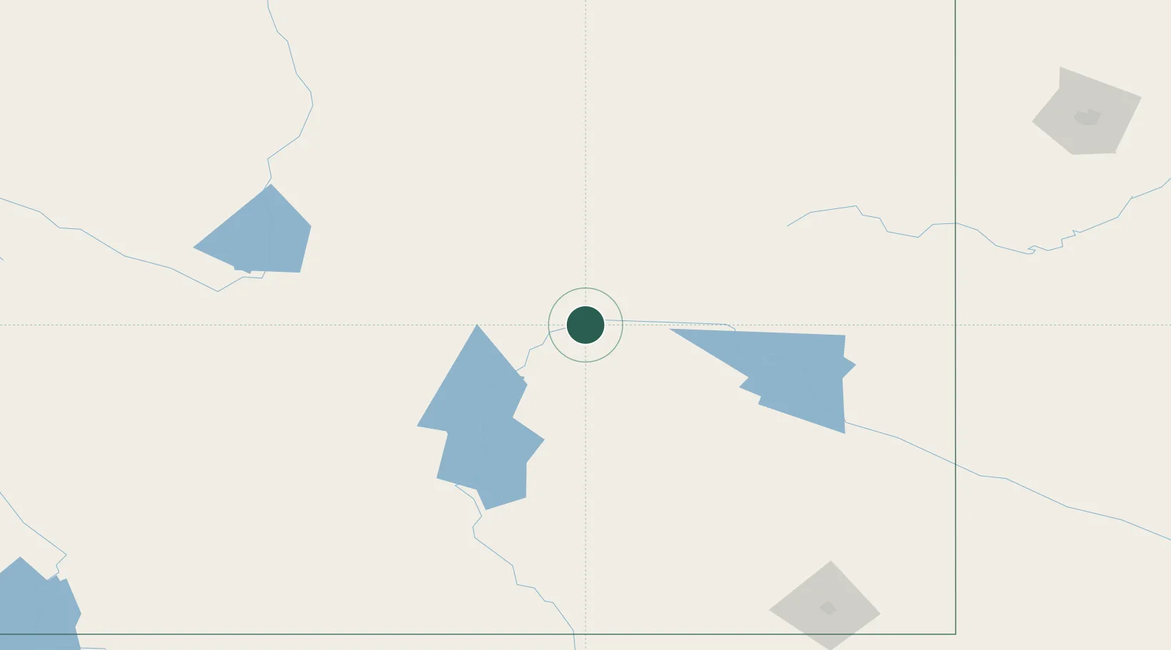
Evansville
42.8500°, -106.2667°
2,931
Population
2
Transport functions
Transport Functions
Rail
Road
Hub Profile
Place type
Populated place
Region
Wyoming
Population
2,931
Time zone
America/Denver
Elevation
1,562 m
Location
Nearby Logistics Neighbours
Cities
- 1Mills8 km
- 2Glenrock31 km
- 3Medicine Bow106 km
- 4Guernsey140 km
- 5Upton149 km
Ports
- 1Duluth1197 km
- 2Superior1199 km
- 3The Dalles1225 km
- 4Sacramento1366 km
- 5Stockton1382 km
Airports
Trade Zones
- 1FTZ No. 298 Jefferson County358 km
- 2FTZ No. 123 Denver362 km
- 3FTZ No. 293 Limon454 km
- 4FTZ No. 112 Colorado Springs463 km
- 5FTZ No. 030 Salt Lake City527 km
DatabookThe Record of Consolidated Knowledge
United States beyond logistics?