Transport Functions
Rail
Road
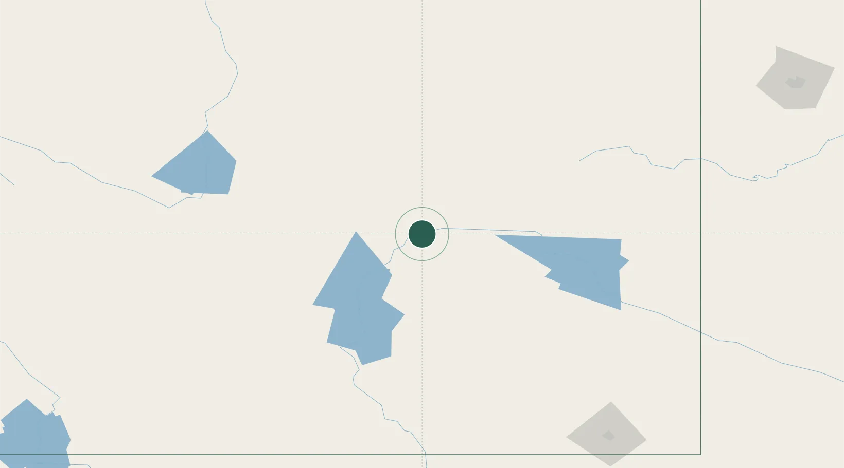
Hub Profile
Place type
Populated place
Region
Wyoming
Population
3,785
Time zone
America/Denver
Elevation
1,562 m
Location
Nearby Logistics Neighbours
Cities
- 1Evansville8 km
- 2Glenrock40 km
- 3Medicine Bow105 km
- 4Upton143 km
- 5Guernsey147 km
Ports
- 1Duluth1206 km
- 2Superior1207 km
- 3The Dalles1218 km
- 4Sacramento1358 km
- 5Stockton1374 km
Airports
Trade Zones
- 1FTZ No. 298 Jefferson County358 km
- 2FTZ No. 123 Denver363 km
- 3FTZ No. 293 Limon456 km
- 4FTZ No. 112 Colorado Springs463 km
- 5FTZ No. 030 Salt Lake City519 km
DatabookThe Record of Consolidated Knowledge
United States beyond logistics?