Medium airport · United States
Hunt FieldKLND
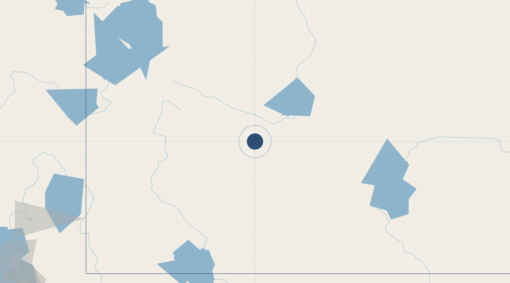
42.8152°, -108.7300°
5,000 ft
Longest runway
1
Runways
5,586 ft
Elevation
Runway & Layout

Radio Frequencies
ASOS
118.15 MHz
UNIC
122.8 MHz
CTAF/UNICOM
Runways · 1
| Runway | Dimensions | Surface | True heading | Lit |
|---|---|---|---|---|
| 04/22 | 5,000 × 75ft | Asphalt | 042° | ✓ |
Airport Specifications
IATA code
LND
ICAO code
KLND
Airport class
Medium airport
Scheduled service
No
Runway surface
Asphalt
Served city
Lander
Location
Nearby Logistics Neighbours
Airports
- 1Central Wyoming Regional Airport35 km
- 2Ralph Wenz Field88 km
- 3Miley Memorial Field116 km
- 4Southwest Wyoming Regional Airport139 km
- 5Worland Municipal Airport143 km
Cities
- 1Upton104 km
- 2Point of Rocks126 km
- 3Reliance133 km
- 4Cokeville151 km
- 5Ten Sleep170 km
Ports
- 1The Dalles1039 km
- 2Sacramento1173 km
- 3Courtland1192 km
- 4Stockton1193 km
- 5Walnut Grove1193 km
Trade Zones
- 1FTZ No. 030 Salt Lake City353 km
- 2FTZ No. 298 Jefferson County454 km
- 3FTZ No. 123 Denver463 km
- 4FTZ No. 275 Lansing467 km
- 5FTZ No. 274 Butte-Silver Bow478 km
DatabookThe Record of Consolidated Knowledge
United States beyond logistics?