Medium airport · United States
Riverside Municipal AirportKRAL
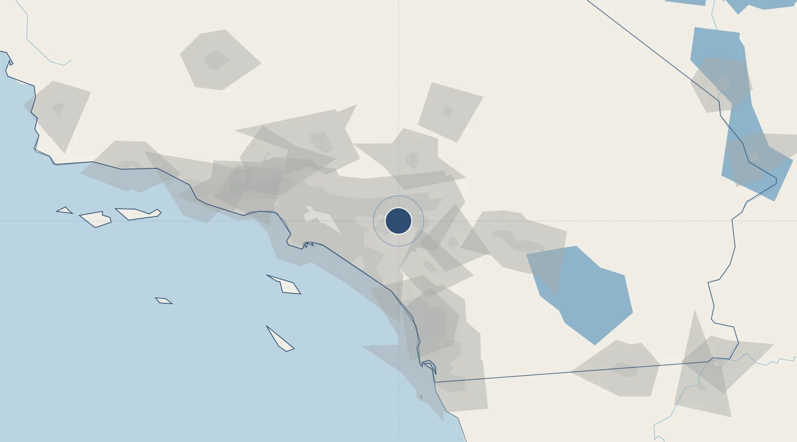
33.9519°, -117.4450°
5,401 ft
Longest runway
2
Runways
819 ft
Elevation
Runway & Layout

Radio Frequencies
ATIS
128.8 MHz
TWR
121 MHz
GND
121.7 MHz
CTAF
121 MHz
A/D
135.4 MHz
SOCAL APP/DEP
RDO
25.54 MHz
RDO
122.05 MHz
UNIC
122.95 MHz
UNICOM
Navaids
RAL VOR Riverside 112.40 MHz
Runways · 2
| Runway | Dimensions | Surface | True heading | Lit |
|---|---|---|---|---|
| 09/27 | 5,401 × 100ft | Asphalt | 103° | ✓ |
| 16/34 | 2,850 × 50ft | Asphalt | 179° | ✓ |
Airport Specifications
IATA code
RAL
ICAO code
KRAL
Airport class
Medium airport
Scheduled service
No
Runway surface
Asphalt
Served city
Riverside
Location
Nearby Logistics Neighbours
Airports
Cities
- 1Rubidoux5 km
- 2Eastvale10 km
- 3Kaiser13 km
- 4Bloomington13 km
- 5Grand Terrace16 km
Ports
- 1Newport Beach56 km
- 2Long Beach71 km
- 3Los Angeles78 km
- 4El Segundo91 km
- 5Avalon105 km
Trade Zones
- 1FTZ No. 244 Riverside County15 km
- 2FTZ No. 050 Long Beach66 km
- 3FTZ No. 243 Victorville71 km
- 4FTZ No. 202 Los Angeles81 km
- 5FTZ No. 236 Palm Springs87 km
DatabookThe Record of Consolidated Knowledge
United States beyond logistics?