Medium airport · United States
Gallup Municipal AirportKGUP
35.5117°, -108.7882°
7,312 ft
Longest runway
1
Runways
6,472 ft
Elevation
Runway & Layout

Radio Frequencies
ASOS
118.375 MHz
RDO
122.6 MHz
ALBUQUERQUE RDO
UNIC
122.95 MHz
CTAF/UNICOM
Navaids
GUP VORTAC Gallup 115.10 MHz
Runways · 1
| Runway | Dimensions | Surface | True heading | Lit |
|---|---|---|---|---|
| 06/24 | 7,312 × 100ft | Asphalt | 074° | ✓ |
Airport Specifications
IATA code
GUP
ICAO code
KGUP
Airport class
Medium airport
Scheduled service
Yes
Runway surface
Asphalt
Served city
Gallup
Location
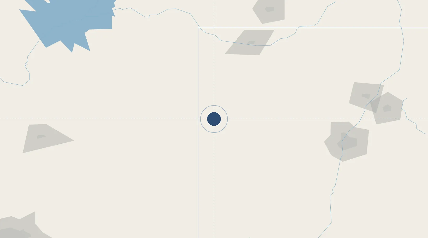
Nearby Logistics Neighbours
Airports
- 1Four Corners Regional Airport146 km
- 2Show Low Regional Airport178 km
- 3Winslow Lindbergh Regional Airport184 km
- 4Double Eagle II Airport185 km
- 5Cortez Municipal Airport200 km
Cities
- 1Fort Wingate12 km
- 2Prewitt71 km
- 3Cuba175 km
- 4Pinedale190 km
- 5Dalies195 km
Ports
- 1Ensenada831 km
- 2San Diego833 km
- 3Rosarito842 km
- 4Newport Beach860 km
- 5Guaymas868 km
Trade Zones
- 1FTZ No. 110 Albuquerque185 km
- 2FTZ No. 221 Mesa364 km
- 3FTZ No. 197 Dona Ana County368 km
- 4FTZ No. 075 Phoenix379 km
- 5FTZ No. 277 Western Maricopa County387 km
DatabookThe Record of Consolidated Knowledge
United States beyond logistics?