Large airport · United States
Denver International AirportKDEN
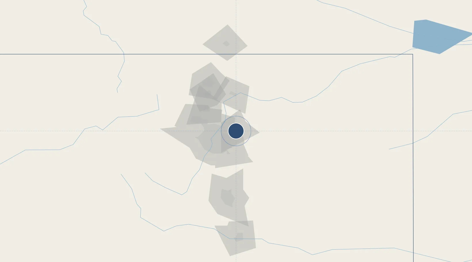
39.8600°, -104.6738°
16,000 ft
Longest runway
6
Runways
5,431 ft
Elevation
Runway & Layout

Radio Frequencies
ATIS
125.6 MHz
TWR
124.3 MHz
GND
121.85 MHz
CLD
118.75 MHz
CLNC DEL
APP
119.3 MHz
DEP
126.1 MHz
RDO
123.65 MHz
UNIC
122.95 MHz
UNICOM
Navaids
DVV VORTAC Mile High 114.70 MHz
Runways · 6
| Runway | Dimensions | Surface | True heading | Lit |
|---|---|---|---|---|
| 16R/34L | 16,000 × 200ft | Concrete | 180° | ✓ |
| 07/25 | 12,000 × 150ft | Concrete | 090° | ✓ |
| 08/26 | 12,000 × 150ft | Concrete | 090° | ✓ |
| 16L/34R | 12,000 × 150ft | Concrete | 180° | ✓ |
| 17L/35R | 12,000 × 150ft | Concrete | 180° | ✓ |
| 17R/35L | 12,000 × 150ft | Concrete | 180° | ✓ |
Airport Specifications
IATA code
DEN
ICAO code
KDEN
Airport class
Large airport
Scheduled service
Yes
Runway surface
Concrete
Served city
Denver
Location
Nearby Logistics Neighbours
Airports
Cities
- 1Irondale18 km
- 2Thornton25 km
- 3Fort Lupton27 km
- 4Glendale28 km
- 5Keenesburg30 km
Ports
- 1Duluth1272 km
- 2Superior1272 km
- 3Newport Beach1366 km
- 4San Diego1372 km
- 5Rosarito1391 km
Trade Zones
- 1FTZ No. 123 Denver30 km
- 2FTZ No. 298 Jefferson County43 km
- 3FTZ No. 293 Limon108 km
- 4FTZ No. 112 Colorado Springs115 km
- 5FTZ No. 110 Albuquerque564 km
DatabookThe Record of Consolidated Knowledge
United States beyond logistics?