Medium airport · United States
Canyonlands Regional AirportKCNY
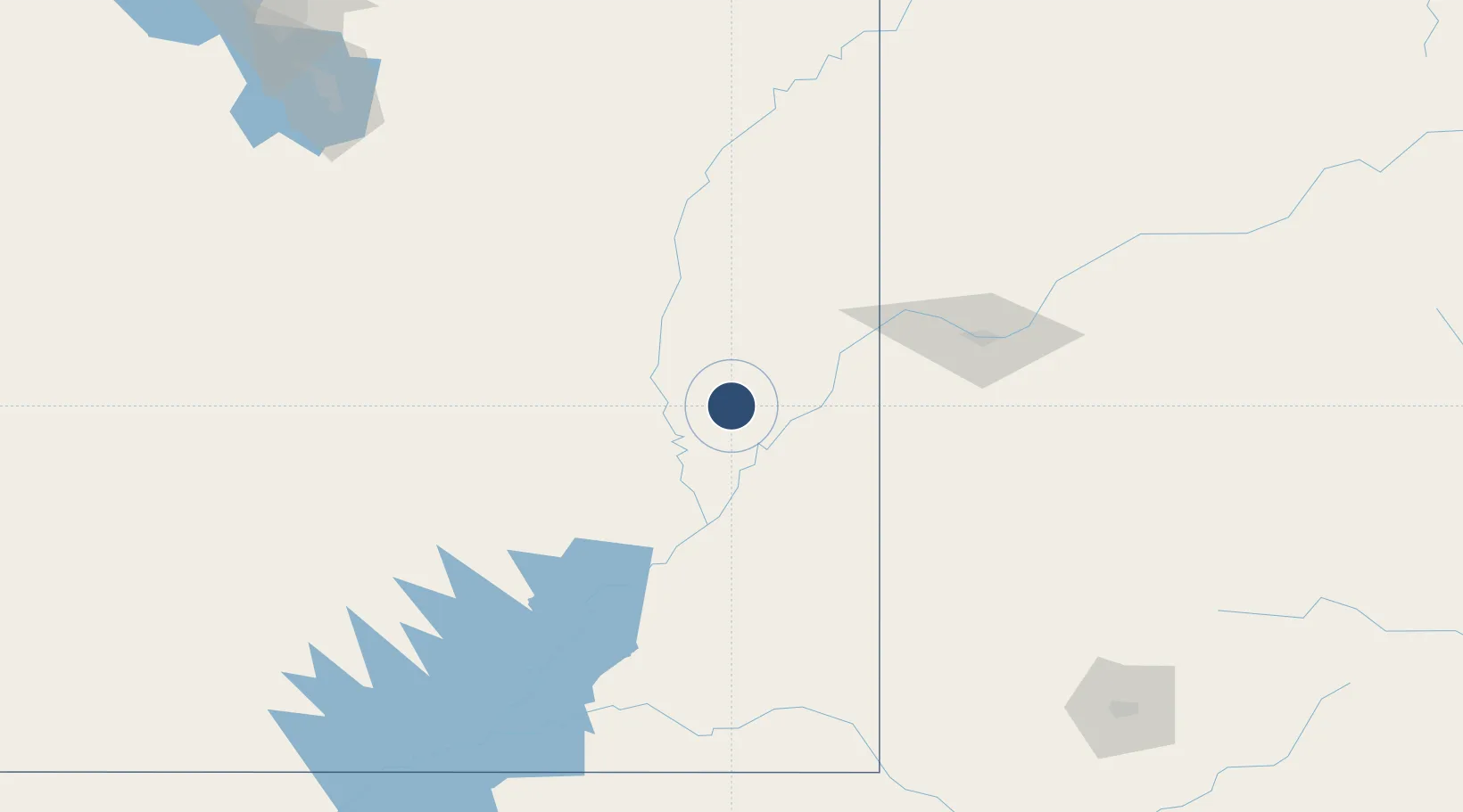
38.7550°, -109.7550°
7,360 ft
Longest runway
1
Runways
4,557 ft
Elevation
Runway & Layout

Radio Frequencies
ASOS
118.525 MHz
CNTR
134.5 MHz
DENVER CNTR
RDO
122.3 MHz
CEDAR CITY RDO
UNIC
122.8 MHz
CTAF/UNICOM
Runways · 1
| Runway | Dimensions | Surface | True heading | Lit |
|---|---|---|---|---|
| 03/21 | 7,360 × 100ft | Asphalt | 040° | ✓ |
Airport Specifications
IATA code
CNY
ICAO code
KCNY
Airport class
Medium airport
Scheduled service
Yes
Runway surface
Asphalt
Served city
Moab
Location
Nearby Logistics Neighbours
Airports
- 1Grand Junction Regional Airport114 km
- 2Montrose Regional Airport164 km
- 3Telluride Regional Airport184 km
- 4Vernal Regional Airport188 km
- 5Cortez Municipal Airport189 km
Cities
- 1Clifton, Mesa117 km
- 2Delta146 km
- 3Ash Grove157 km
- 4Austin157 km
- 5Parachute166 km
Ports
- 1Newport Beach927 km
- 2Long Beach937 km
- 3Los Angeles943 km
- 4El Segundo945 km
- 5San Diego948 km
Trade Zones
- 1FTZ No. 030 Salt Lake City295 km
- 2FTZ No. 298 Jefferson County411 km
- 3FTZ No. 123 Denver425 km
- 4FTZ No. 112 Colorado Springs428 km
- 5FTZ No. 110 Albuquerque485 km
DatabookThe Record of Consolidated Knowledge
United States beyond logistics?