Runway & Layout

Airport Specifications
IATA code
JIO
ICAO code
WAPM
Airport class
Small airport
Scheduled service
Yes
Served city
Tiakur
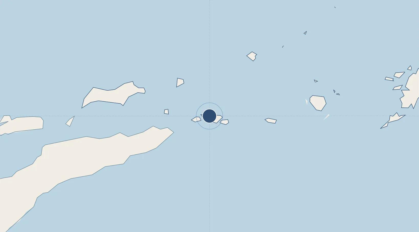
Location
Nearby Logistics Neighbours
Airports
Cities
- 1Dili262 km
- 2Kalabahi373 km
- 3Ambon, Molucas495 km
- 4Melville Island504 km
- 5Kupang, Timor533 km
Trade Zones
DatabookThe Record of Consolidated Knowledge
Indonesia beyond logistics?