Small airport · Indonesia

AA Bere Tallo (Haliwen) AirportWATA
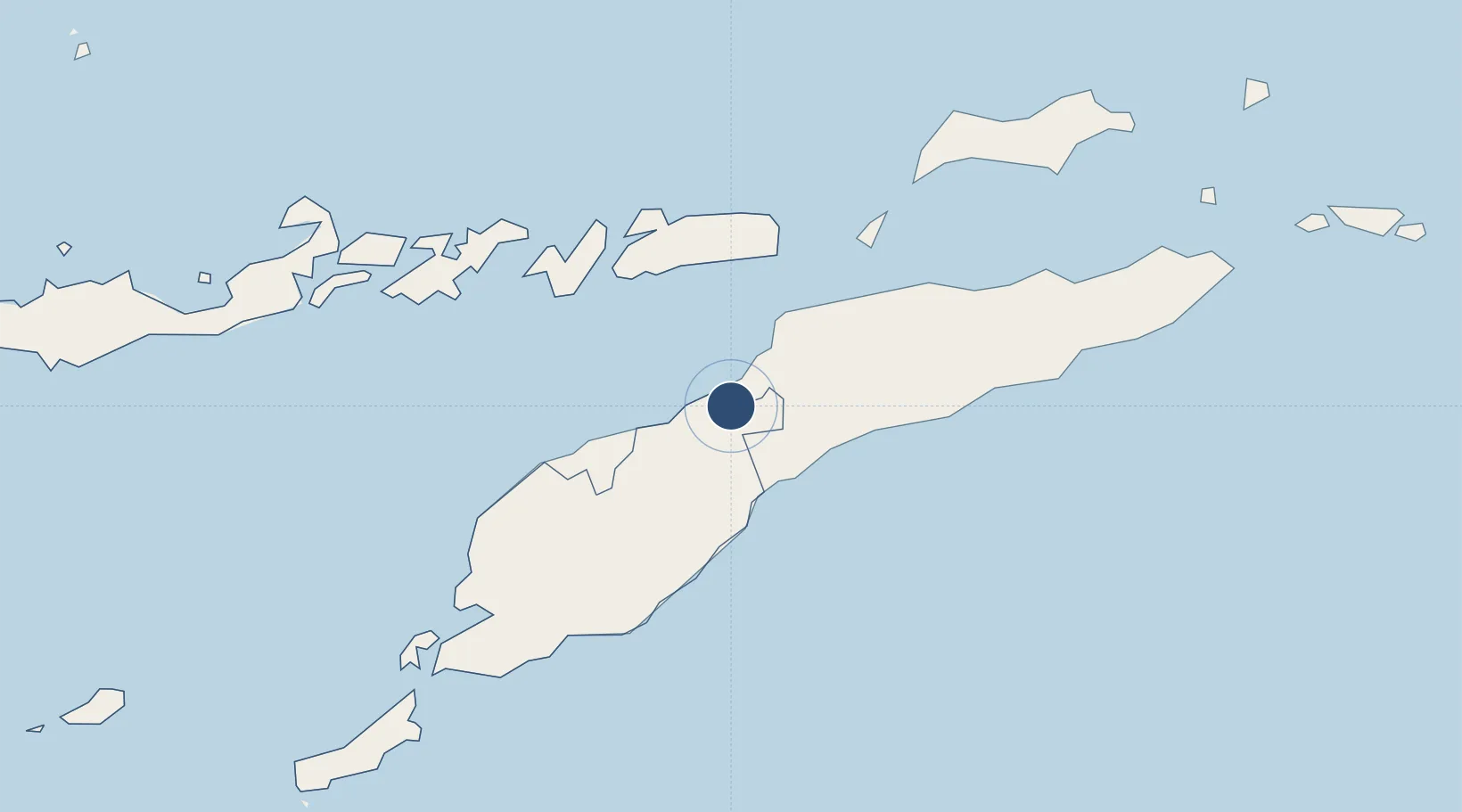
-9.0748°, 124.9033°
3,937 ft
Longest runway
1
Runways
1,027 ft
Elevation

Runway & Layout

AA Bere Tallo (Haliwen) Airport runway & taxiway layout
Runway & taxiway layout — OpenStreetMap (ODbL) / OurAirports

Runways · 1

RunwayDimensions SurfaceTrue headingLit
08/26 3,937 × 98ft Asphalt
OurAirports

Airport Specifications

IATA code
ABU
OurAirports
ICAO code
WATA
OurAirports
Airport class
Small airport
OurAirports
Scheduled service
Yes
OurAirports
Runway surface
Asphalt
OurAirports
Served city
Atambua
OurAirports

Location

Location of WATA
Natural Earth 10m (public domain) · Nusa Tenggara Timur · WATA · -9.07, 124.90GoogleOSMYandex

Nearby Logistics Neighbours

Cities
  1. 1Dili93 km
  2. 2Kalabahi105 km
  3. 3Kupang, Timor196 km
  4. 4Challis Venture (oil Terminal)339 km
  5. 5Montara Field455 km
Nearest neighbours — logibook spatial index (haversine) over the source coordinates
Ports
  1. 1Dili96 km
  2. 2Kupang189 km
  3. 3Larantuka226 km
  4. 4Maumere300 km
  5. 5Ende358 km
Nearest neighbours — logibook spatial index (haversine) over the source coordinates
Trade Zones
  1. 1Oecusse Ambeno Enclave Special Zone For Social Market Economy (Zeesm)72 km
  2. 2Atauro Special Economic Zone122 km
  3. 3Bantaeng Industrial Park (BIP)676 km
  4. 4Terpadu Takalar Industrial Estate726 km
  5. 5Kawasan Industri Makassar742 km
Nearest neighbours — logibook spatial index (haversine) over the source coordinates
DatabookThe Record of Consolidated Knowledge
Indonesia beyond logistics?
Browse databook

All Sources

AirportsOurAirports
Public domain
Portsthe NGA World Port Index
Public domain (US gov)
LocationsUN/LOCODE
UN/LOCODE — free
Trade Zonesthe World Bank SEZ database
CC BY 4.0
Trade ZonesOpen Zone Map
CC BY
InfrastructureOpenStreetMap
ODbL 1.0
← Indonesia airports