UN/LOCODE hub · Indonesia
IDAMQ
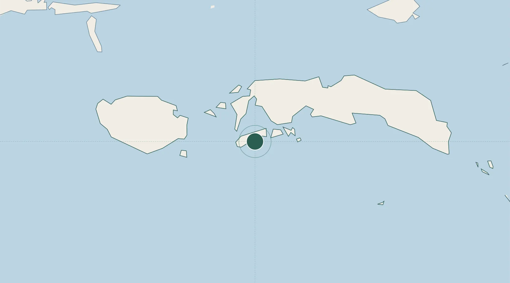
Ambon, Molucas
-3.6933°, 128.1769°
1
Transport functions
1
Container terminals
Transport Functions
Port
Hub Profile
Logistics facilities
1
Container terminals
1
Location
Nearby Logistics Neighbours
Airports
- 1Pattimura International Airport10 km
- 2Namniwel Airport147 km
- 3Fakfak Airport462 km
- 4Marinda Airport464 km
- 5Domine Eduard Osok Airport465 km
Trade Zones
- 1KEK Sorong451 km
- 2Atauro Special Economic Zone578 km
- 3KEK Morotai645 km
- 4Bitung Special Economic Zone661 km
- 5Morowali Industrial Park675 km
DatabookThe Record of Consolidated Knowledge
Indonesia beyond logistics?