Medium airport · Timor-Leste

Commander in Chief of FALINTIL, Kay Rala Xanana Gusmão, International AirportWPDB
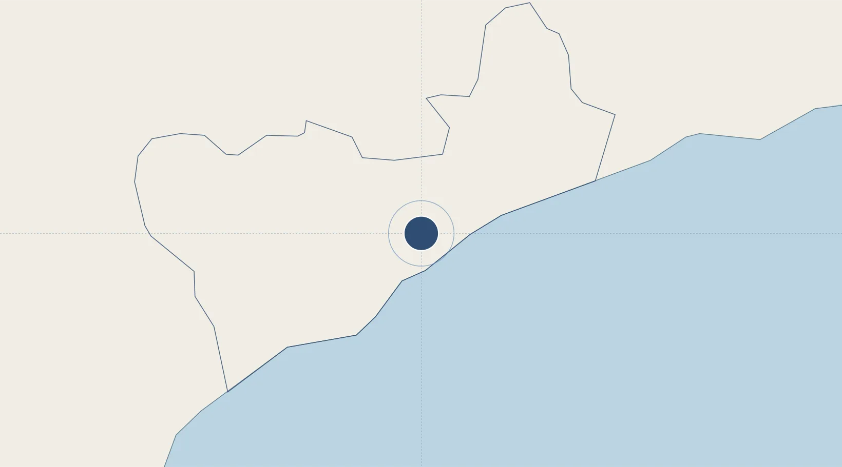
-9.3019°, 125.2863°
4,921 ft
Longest runway
1
Runways
96 ft
Elevation

Runway & Layout

Commander in Chief of FALINTIL, Kay Rala Xanana Gusmão, International Airport runway & taxiway layout
Runway & taxiway layout — OpenStreetMap (ODbL) / OurAirports

Radio Frequencies

CTAF
127.1 MHz
TIMOR COMMON LOW
OurAirports

Runways · 1

RunwayDimensions SurfaceTrue headingLit
16/34 4,921 × 98ft Asphalt 167°
OurAirports

Airport Specifications

IATA code
UAI
OurAirports
ICAO code
WPDB
OurAirports
Airport class
Medium airport
OurAirports
Scheduled service
Yes
OurAirports
Runway surface
Asphalt
OurAirports
Served city
Suai
OurAirports

Location

Location of WPDB
Natural Earth 10m (public domain) · Cova Lima · WPDB · -9.30, 125.29GoogleOSMYandex

Nearby Logistics Neighbours

Airports
  1. 1AA Bere Tallo (Haliwen) Airport49 km
  2. 2Presidente Nicolau Lobato International Airport88 km
  3. 3Oecusse Route of the Sandalwood International Airport105 km
  4. 4Alor Island - Mali Airport151 km
  5. 5Baucau Airport152 km
Nearest neighbours — logibook spatial index (haversine) over the source coordinates
Cities
  1. 1Dili89 km
  2. 2Kalabahi147 km
  3. 3Kupang, Timor217 km
  4. 4Challis Venture (oil Terminal)314 km
  5. 5Montara Field441 km
Nearest neighbours — logibook spatial index (haversine) over the source coordinates
Ports
  1. 1Dili92 km
  2. 2Kupang210 km
  3. 3Larantuka274 km
  4. 4Maumere346 km
  5. 5Ende403 km
Nearest neighbours — logibook spatial index (haversine) over the source coordinates
Trade Zones
  1. 1Oecusse Ambeno Enclave Special Zone For Social Market Economy (Zeesm)108 km
  2. 2Atauro Special Economic Zone125 km
  3. 3Bantaeng Industrial Park (BIP)724 km
  4. 4Terpadu Takalar Industrial Estate775 km
  5. 5Kawasan Industri Makassar791 km
Nearest neighbours — logibook spatial index (haversine) over the source coordinates
DatabookThe Record of Consolidated Knowledge
Timor-Leste beyond logistics?
Browse databook

All Sources

AirportsOurAirports
Public domain
Portsthe NGA World Port Index
Public domain (US gov)
LocationsUN/LOCODE
UN/LOCODE — free
Trade Zonesthe World Bank SEZ database
CC BY 4.0
Trade ZonesOpen Zone Map
CC BY
InfrastructureOpenStreetMap
ODbL 1.0
← Timor-Leste airports