Seaport · Indonesia
AmbonIDAMQ
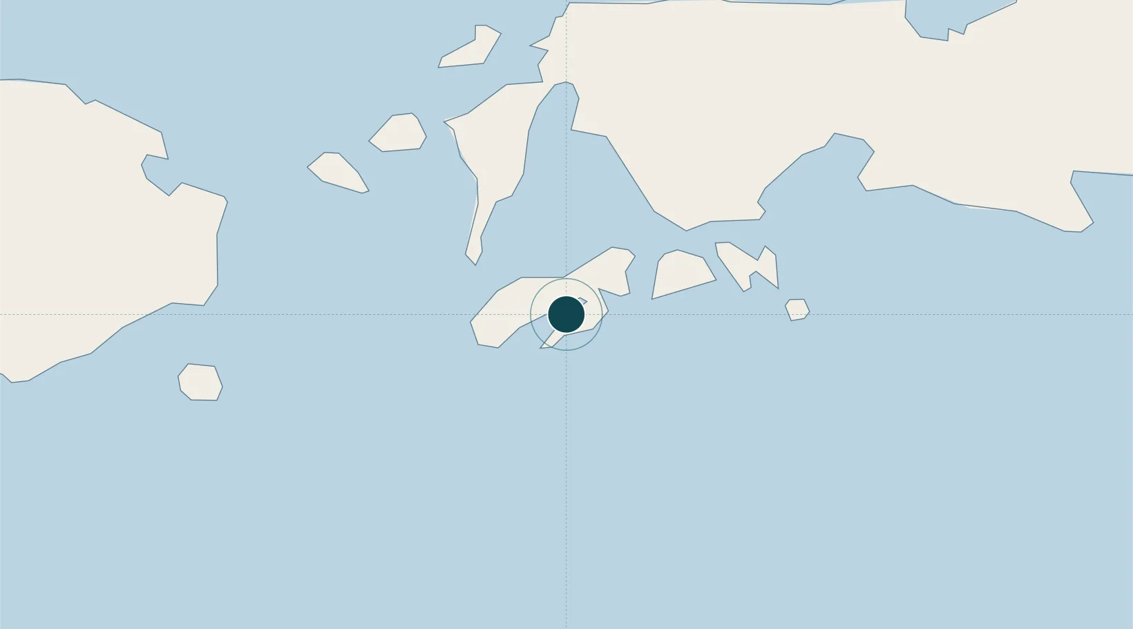
-3.6833°, 128.1667°
11.0 m
Channel depth
1
Container terminals
29.4
Port liner connectivity
Channel & Berth Profile
Pilotage, Tugs & Services
Pilotage compulsoryYES
Pilotage availableYES
Local assistanceYES
Tug assistanceYES
Salvage tugsYES
Potable waterYES
MedicalYES
Facilities & Capabilities
Container—
Ro-Ro—
Liquid bulk—
Dry bulk—
Oil terminal—
Break bulk—
Dry dock—
RepairsNO
BunkeringYES
Rail linkNO
Dangerous cargo—
ISPS security—
Harbour Specifications
Harbour size
Small
Harbour type
Coastal (Natural)
Shelter
Fair
Water body
Banda Sea; South Pacific Ocean
Tidal range
5 m
Overhead limit
Yes
Pilotage
Yes
Liner Connectivity
29.4
PLSCI
Port Liner Shipping Connectivity Index for Ambon, as published by UNCTAD for the latest available quarter. Higher values indicate stronger scheduled liner-shipping integration.
Shown relative to the highest per-port PLSCI in the dataset (1,657.9).
Location
Container Terminals · 1
TERMINAL PETIKEMAS AMBON
TPAM PT PELINDO TERMINAL PETIKEMAS (SPTP)
Nearby Logistics Neighbours
Airports
- 1Pattimura International Airport9 km
- 2Namniwel Airport145 km
- 3Fakfak Airport463 km
- 4Marinda Airport464 km
- 5Domine Eduard Osok Airport465 km
Trade Zones
- 1KEK Sorong452 km
- 2Atauro Special Economic Zone579 km
- 3KEK Morotai644 km
- 4Bitung Special Economic Zone659 km
- 5Morowali Industrial Park674 km
DatabookThe Record of Consolidated Knowledge
Indonesia beyond logistics?