Large airport · Timor-Leste

Presidente Nicolau Lobato International AirportWPDL
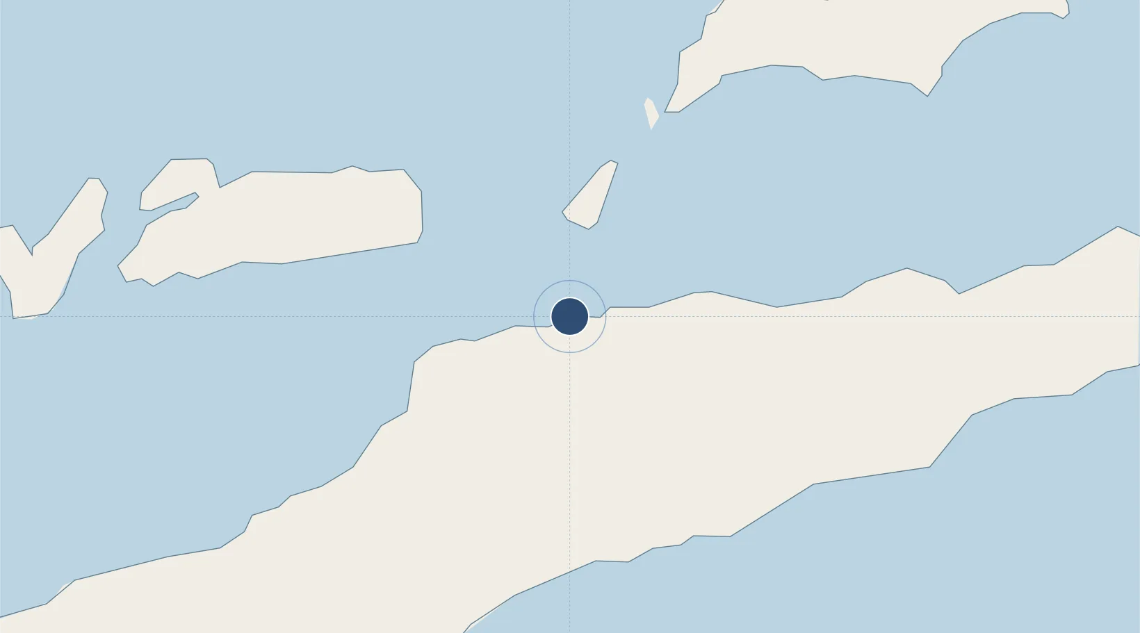
-8.5466°, 125.5245°
6,065 ft
Longest runway
1
Runways
154 ft
Elevation

Runway & Layout

Presidente Nicolau Lobato International Airport runway & taxiway layout
Runway & taxiway layout — OpenStreetMap (ODbL) / OurAirports

Radio Frequencies

GND
133.9 MHz
COMORO GND
APP
122.9 MHz
COMORO APP/TWR
MISC
125.5 MHz
PCL
OurAirports

Navaids

DIL VOR-DME Dili 113.40 MHz
KO NDB Dili 391 kHz
OurAirports

Runways · 1

RunwayDimensions SurfaceTrue headingLit
08/26 6,065 × 98ft Asphalt 077°
OurAirports

Airport Specifications

IATA code
DIL
OurAirports
ICAO code
WPDL
OurAirports
Airport class
Large airport
OurAirports
Scheduled service
Yes
OurAirports
Runway surface
Asphalt
OurAirports
Served city
Dili
OurAirports

Location

Location of WPDL
Natural Earth 10m (public domain) · Dili · WPDL · -8.55, 125.52GoogleOSMYandex

Nearby Logistics Neighbours

Cities
  1. 1Dili5 km
  2. 2Kalabahi117 km
  3. 3Kupang, Timor286 km
  4. 4Challis Venture (oil Terminal)401 km
  5. 5Montara Field528 km
Nearest neighbours — logibook spatial index (haversine) over the source coordinates
Ports
  1. 1Dili7 km
  2. 2Kupang279 km
  3. 3Larantuka280 km
  4. 4Maumere364 km
  5. 5Ende427 km
Nearest neighbours — logibook spatial index (haversine) over the source coordinates
Trade Zones
  1. 1Atauro Special Economic Zone37 km
  2. 2Oecusse Ambeno Enclave Special Zone For Social Market Economy (Zeesm)161 km
  3. 3Bantaeng Industrial Park (BIP)702 km
  4. 4Morowali Industrial Park737 km
  5. 5Terpadu Takalar Industrial Estate756 km
Nearest neighbours — logibook spatial index (haversine) over the source coordinates
DatabookThe Record of Consolidated Knowledge
Timor-Leste beyond logistics?
Browse databook

All Sources

AirportsOurAirports
Public domain
Portsthe NGA World Port Index
Public domain (US gov)
LocationsUN/LOCODE
UN/LOCODE — free
Trade Zonesthe World Bank SEZ database
CC BY 4.0
Trade ZonesOpen Zone Map
CC BY
InfrastructureOpenStreetMap
ODbL 1.0
← Timor-Leste airports