Transport Functions
Port
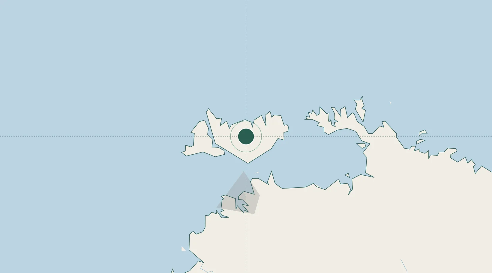
Hub Profile
Place type
Populated place
Region
Northern Territory
Time zone
Australia/Darwin
Elevation
36 m
Location
Nearby Logistics Neighbours
Cities
- 1Cape Don93 km
- 2Winnellie98 km
- 3Darwin103 km
- 4Palmerston103 km
- 5Black Point140 km
Ports
- 1Darwin103 km
- 2Saumlaki399 km
- 3Wyndham532 km
- 4Gove632 km
- 5Milner Bay648 km
Airports
- 1Snake Bay Airport34 km
- 2Bathurst Island Airport42 km
- 3Garden Point Airport58 km
- 4Darwin International Airport / RAAF Darwin96 km
- 5Port Keats Airport337 km
Trade Zones
DatabookThe Record of Consolidated Knowledge
Australia beyond logistics?