Diversified Zone · Indonesia
KEK Sorong Active
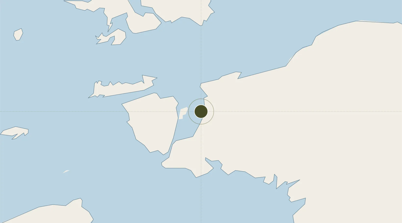
-1.0295°, 131.2434°
523 ha
Zone area
39.2 km
Nearest port
15.8 km
Nearest airport
Gateway access
Zone profile
Zone type
Diversified Zone
Region
Papua Barat
Status
Active
Management
Public-Private Partnership
Operator
PT Malamoi Otom Wobok
Legal framework
Law of the Republic of Indonesia No. 39 Year 2009 Regarding Special Economic Zones
Location
Nearby Logistics Neighbours
Ports
- 1Kasim Terminal39 km
- 2Salawati46 km
- 3Fakfak241 km
- 4Bula245 km
- 5Wahai275 km
Airports
- 1Domine Eduard Osok Airport16 km
- 2Marinda Airport85 km
- 3Werur Airport125 km
- 4Fakfak Airport239 km
- 5Babo Airport296 km
Cities
- 1Sorong17 km
- 2Salawati Terminal45 km
- 3Misool Terminal101 km
- 4Inanwatan160 km
- 5Kokas228 km
Trade Zones
- 1KEK Morotai479 km
- 2Bitung Special Economic Zone735 km
- 3KEK Likupang741 km
- 4Atauro Special Economic Zone1015 km
- 5National Capitol Complex Tax Free Zone1019 km
DatabookThe Record of Consolidated Knowledge
Indonesia beyond logistics?