Channel & Berth Profile
Pilotage, Tugs & Services
Potable waterYES
Facilities & Capabilities
Container—
Ro-Ro—
Liquid bulk—
Dry bulk—
Oil terminal—
Break bulk—
Dry dock—
RepairsNO
Bunkering—
Rail link—
Dangerous cargo—
ISPS security—
Harbour Specifications
Harbour size
Very Small
Harbour type
Coastal (Natural)
Shelter
Good
Water body
Arafura Sea; South Pacific Ocean
Tidal range
3 m
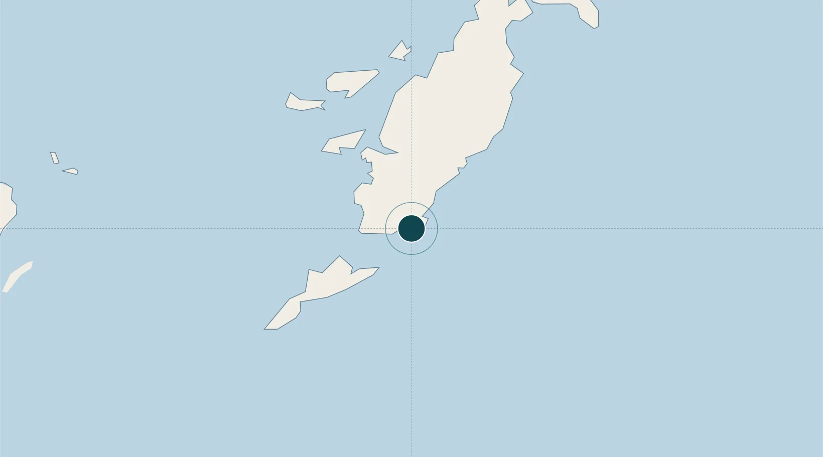
Location
Nearby Logistics Neighbours
Cities
- 1Tual306 km
- 2Elat328 km
- 3Black Point364 km
- 4Cape Don374 km
- 5Raffles Bay384 km
Airports
- 1Mathilda Batlayeri Airport16 km
- 2Karel Sadsuitubun Airport295 km
- 3Jos Orno Imsula Airport374 km
- 4Snake Bay Airport389 km
- 5Garden Point Airport392 km
Trade Zones
DatabookThe Record of Consolidated Knowledge
Indonesia beyond logistics?